Industry-Leading Surveying Equipment
We invest in the latest surveying technology to deliver precise, efficient results for your projects. Our comprehensive equipment lineup ensures we have the right tools for every surveying challenge, from standard site setups to complex infrastructure projects.
Book A Meeting
Industry-Leading Expertise
Over 15 years of surveying experience across infrastructure, commercial, and specialized projects.

Efficient Project Delivery
Our proactive approach means fewer surprises and smoother workflows. We anticipate needs before they become roadblocks.

Complete Surveying Solutions
From traditional surveys to cutting-edge 3D scanning, one reliable partner for all your surveying needs.
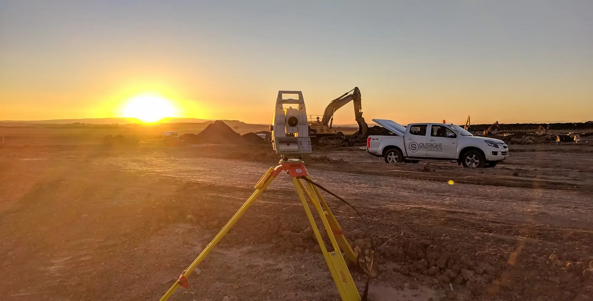
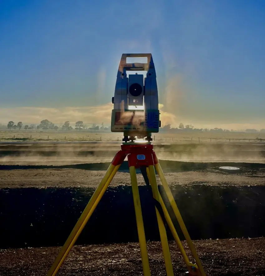
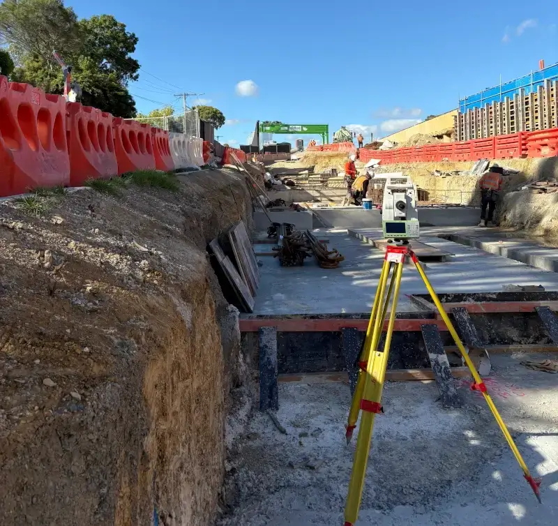
Precision Total Stations
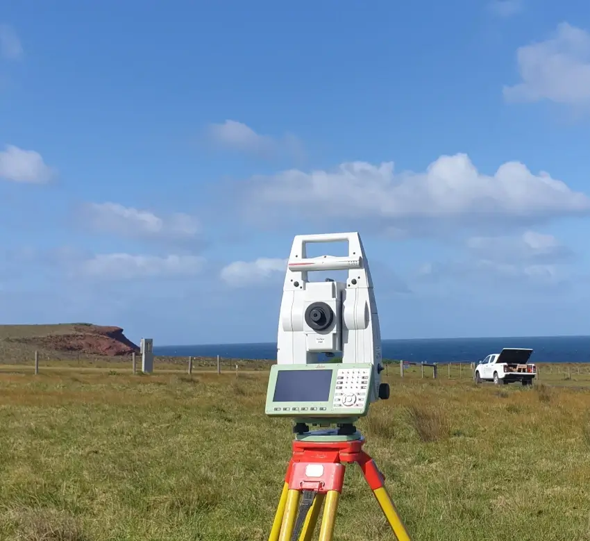
Our total stations form the backbone of our field operations, providing millimeter-level accuracy for critical structural work, alignment surveys, and detailed site measurements.
These instruments allow us to capture precise spatial data even in challenging environments, giving you confidence in the accuracy of every measurement.
- Fleet of current generation Leica total stations
- Fleet of Trimble total stations
- One-man robotic operation for efficient fieldwork
- Automated workflow capabilities for faster data collection
Advanced GPS Systems
When speed and coverage are essential, our GPS systems enable rapid data collection across large sites while maintaining high accuracy.
These systems work in real-time with correction networks to deliver consistent results in open terrain, making them ideal for initial site surveys, earthworks monitoring, and large-area topographic mapping.
- Trimble, Leica, Topcon, Emlid, CHCNAV GPS rovers
- Multi-constellation compatibility for reliable signal reception
- Network RTK capability for centimeter accuracy
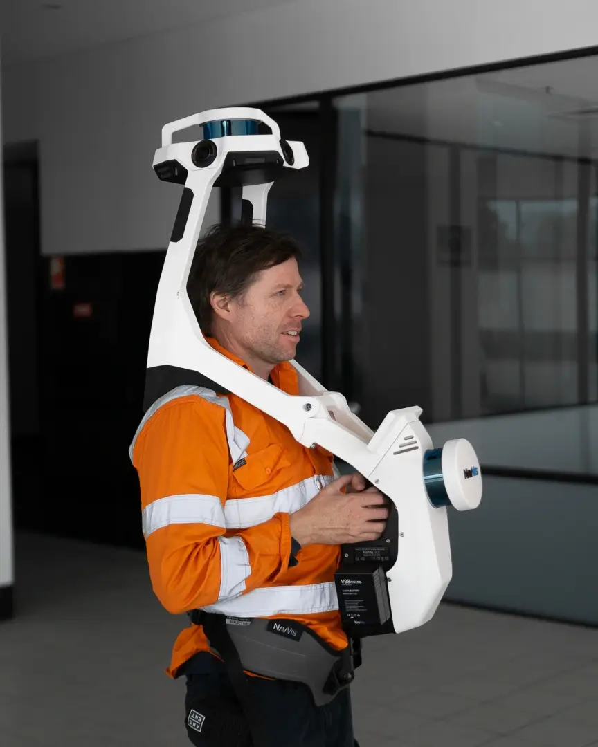
Multi-Stations and Scanning Solutions
For complex structures and detailed as-built documentation, our advanced scanning equipment captures millions of measurements in minutes, creating comprehensive digital twins of your site.
This technology bridges the gap between traditional surveying and detailed 3D documentation, essential for BIM integration and precise volumetric calculations.
- Leica MS60, Trimble SX10 multi-stations
- Navvis VLX wearable scanner
- High-density point cloud generation
- Combined scanning and traditional surveying capabilities
- Mobile scanning solutions for rapid site documentation
Aerial Survey Equipment
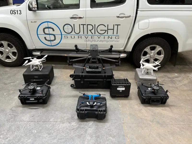
Our drone fleet enables us to capture site-wide data quickly and safely, providing perspectives impossible to achieve with ground-based methods.
From high-resolution orthoimagery to advanced LiDAR scanning, our aerial capabilities revolutionize data acquisition for large sites, difficult terrain, and ongoing earthworks monitoring.
- DJI Mavic 3E drone with 4/3 CMOS sensor
- Skydio 2+ drone with autonomous navigation
- DJI Matrice M350 professional drone
- CHCNAV LiDAR attachment for penetrating vegetation
- RTK-enabled precision positioning
- Multi-sensor payload options
Software Solutions
Raw data becomes actionable information through our comprehensive software suite.
Our technical team uses industry-leading programs to process, analyze, and deliver your survey data in formats that integrate seamlessly with your design and construction workflows, minimizing data translation issues and ensuring quality outputs.
- 12D modeling software
- Listech Neo
- Trimble Business Center
- LisCAS, AutoCAD & TopoDot
- Specialized point cloud processing tools
- Custom data delivery formats available
Trusted By Businesses Across Australia
- Luke Vearing Construction Manager at Speedpro Civil
Speedpro has had the pleasure of working alongside Outright Surveying for over 10 years, and we are always thoroughly impressed with their level of expertise, professionalism, accuracy, and reliability.
- Rowan Bird Project Survey Manager at Seymour Whyte
I’ve been working with Outright Surveying on several projects. The team consistently deliver with reliable and easy to deal with Surveyors, making the projects run smoothly.
- Nevil Sabu Alex Construction Manager at John Holland
Outright Surveying has been my trusty surveying partner for close to a decade. The service I have received from their surveyors and management team has been second to none.
Start Your Project With Confidence
Infrastructure surveys, building setouts, 3D scanning, aerial mapping and more. Our experienced team is ready to help. Tell us about your requirements and we'll respond as soon as possible.
- Phone 0400 751 199
- Address 4/20 Duerdin Street, Clayton
Melbourne
- Phone 0413 147 976
- Location South West Regional Victoria
