
A-SPEC As-Constructed Surveys
A-SPEC is a GIS asset database, not a traditional survey, and half-complete attribution is why submissions get returned. We are qualified A-SPEC surveyors and councils recommend us.
Book A Meeting
It Looks Basic and It Is Not
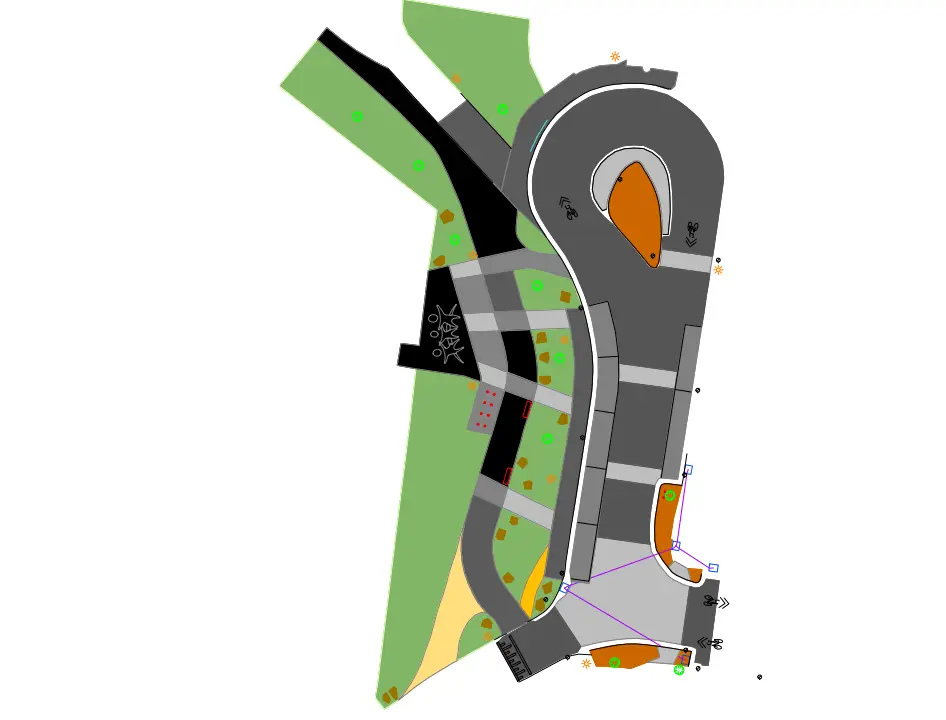
An A-SPEC survey looks visually simple on a plan, which is exactly why it gets underestimated and returned.
Attribution Left Incomplete
Every surveyed object carries fifteen to twenty attributes describing its properties. Missing attributes fail the submission.
Treated as a Normal Survey
A traditional survey focuses on spatial accuracy and levels. An A-SPEC is a database organised spatially, which is a different job.
Wrong Specification Applied
A-SPEC is an umbrella covering separate sub-specifications by discipline, and each has its own requirements.
Captured Too Late
Assets recorded retrospectively after backfill means the information is reconstructed rather than measured.
Which Spec Applies to Your Project
A-SPEC is the umbrella term encompassing the sub-specifications for each discipline.
Roads and Drainage
R-Spec covers the road reserve and D-Spec covers drainage, the two that appear on almost every civil handover.
Water and Sewerage
W-Spec covers water and S-Spec covers sewerage, each with its own attribute requirements.
Open Space and Buildings
O-Spec covers open space and B-Spec covers buildings, which is where landscape projects usually land.
Telecommunications
T-Spec covers telecommunications assets, frequently overlooked until the submission comes back.
Approval First Time
The goal is a submission that goes through, because a returned submission costs you weeks not hours.
Council Specification Followed
We understand local authority requirements and produce accurate, compliant information that supports a smooth approval.
Captured as Work Proceeds
Assets recorded during construction rather than reconstructed at handover, which is what makes the data defensible.
Bundled With Traditional Survey
Run the A-SPEC and your conventional as-constructed survey off one site visit and save the cost of the second.
A-SPEC Surveys Across Victoria
What an A-SPEC Survey Actually Is
A-SPEC surveys are a standardised GIS format adopted by many government agencies including councils. An A-SPEC survey is very different from a traditional survey, which focuses on spatial accuracy and levels.
An A-SPEC survey is a database of information organised spatially, with details on the properties of every object surveyed. It is formatted for GIS software, which organises data on a map rather than through folders and tables.
Where the Work Actually Sits
Each item surveyed carries fifteen to twenty detailed attributes that the surveyor has to complete, describing the properties of the object.
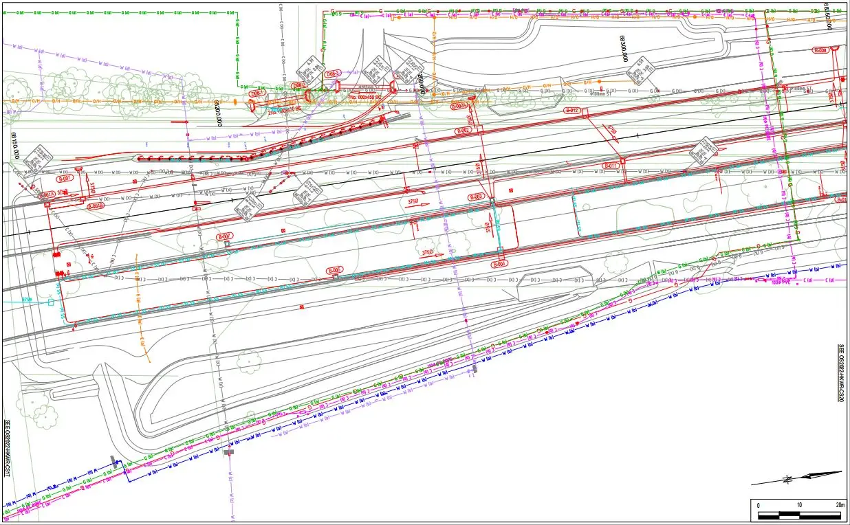
An A-SPEC often looks visually basic on a plan, because all the information is held in the metadata of the objects and can only be viewed in GIS software. That is precisely why it gets underquoted by firms that have not done many, and why incomplete submissions are so common.
The Sub-Specifications
A-SPEC is the umbrella term encompassing all the sub-specifications for different disciplines. B-Spec is buildings, D-Spec is drainage, O-Spec is open space, R-Spec is road reserve, S-Spec is sewerage, T-Spec is telecommunications and W-Spec is water.
Most civil handovers involve several of them at once. Knowing which apply to your project before you start is considerably cheaper than finding out at submission.
Why Councils Recommend Us
We are qualified A-SPEC surveyors with extensive experience delivering A-SPEC surveys efficiently and in full accordance with council specifications. We understand the requirements of local authorities and the importance of producing accurate, compliant information that supports a smooth approval process.
Our record for quality, reliability and fast turnaround has made us a trusted survey provider, with many councils confidently recommending our services to developers, engineers and contractors.
Bundling With Your Other Survey Work
We can complete an A-SPEC survey and a traditional survey at the same time. Bundling them saves us time and saves you money, because the mobilisation and much of the field work is shared.
This applies equally on landscape projects, where the as-constructed, the as-setout plans and the A-SPEC submission all come off the same close-out work.
Learn more about landscaping surveys
A-SPEC Survey Questions
It scales with the number of assets and which sub-specifications apply, because the cost is in the attribution rather than the field survey. The single biggest saving is bundling it with your traditional as-constructed survey, which shares the site visit. Send us the project scope and we will quote both together.
A-SPEC is the umbrella term encompassing all the sub-specifications for different disciplines. B-Spec is buildings, D-Spec is drainage, O-Spec is open space, R-Spec is road reserve, S-Spec is sewerage, T-Spec is telecommunications and W-Spec is water. Most projects involve several at once.
Yes, and you should. We can bundle these services, which saves us time and saves you money because the mobilisation and much of the field work is shared between them.
Almost always incomplete attribution. Every object carries fifteen to twenty attributes and the plan looks finished whether or not they are populated, because the data sits in metadata only visible in GIS software. That is the part that gets skipped and the part councils check.
As construction proceeds, not at handover. Assets recorded before backfill are measured. Assets recorded afterwards are reconstructed from records and someone's memory, which is both slower and less defensible.
Yes. We work across metro Melbourne, South West Victoria and Gippsland, and we are familiar with the specification variations different councils apply.
Trusted By Businesses Across Australia
- Luke Vearing Construction Manager at Speedpro Civil
Speedpro has had the pleasure of working alongside Outright Surveying for over 10 years, and we are always thoroughly impressed with their level of expertise, professionalism, accuracy, and reliability.
- Rowan Bird Project Survey Manager at Seymour Whyte
I’ve been working with Outright Surveying on several projects. The team consistently deliver with reliable and easy to deal with Surveyors, making the projects run smoothly.
- Nevil Sabu Alex Construction Manager at John Holland
Outright Surveying has been my trusty surveying partner for close to a decade. The service I have received from their surveyors and management team has been second to none.

Start Your Project With Confidence
Infrastructure surveys, building setouts, 3D scanning, aerial mapping and more. Our experienced team is ready to help. Tell us about your requirements and we'll respond as soon as possible.
- Phone 0400 751 199
- Address 4/20 Duerdin St, Clayton
Melbourne
- Phone 0413 147 976
- Location South West Regional Victoria