
Civil & Engineering Surveying Victoria
Set out, machine control, monitoring and as-constructed data for civil and infrastructure projects across Victoria. Fifteen years supporting contractors, engineers and project managers with survey data crews can actually work from.
Book A Meeting
Survey Data Crews Can Actually Work From
On a civil site, a line a few millimetres out turns into rework, wasted material and a day off the programme. Tight schedules leave no room to find out later.
Sites also change daily. Weather, access, staged works and late design updates all land on the same crews, who need answers the same shift rather than a report next week.
Our surveyors have worked construction, and it shows in the output. A machine control model built for an operator is not the same as a design file converted straight across. A pothole plan written by someone who has watched services go in the ground puts the holes where they will actually tell you something.
We confirm drawings, control, access and timing before we attend, then give crews clear marks, reliable data and a fast turnaround. On larger projects we can take over the survey function entirely and run it from design review to handover.
"Outright Surveying has been my trusty surveying partner for close to a decade. The service I have received from their surveyors and management team has been second to none." Neville Sabu Alex Construction Manager - John Holland
Engineering Surveying Services
Construction Set Out
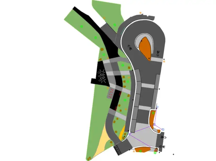
Design drawings turned into marks on the ground for subdivision, drainage, roads, kerb, pavement and structures.
Civil Construction
Roads, drainage, subdivisions and public assets, with control that stays consistent across staged works and long alignments.
Utility Surveys
Above and below ground services located to Australian Standards quality levels, with pothole plans that put holes where they count.
Machine Control
Models built for operators rather than converted from design files, across Trimble, Leica, Topcon and UTS grader systems.
Feature Surveys
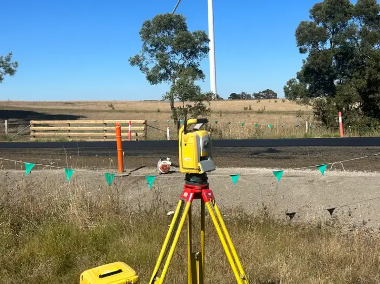
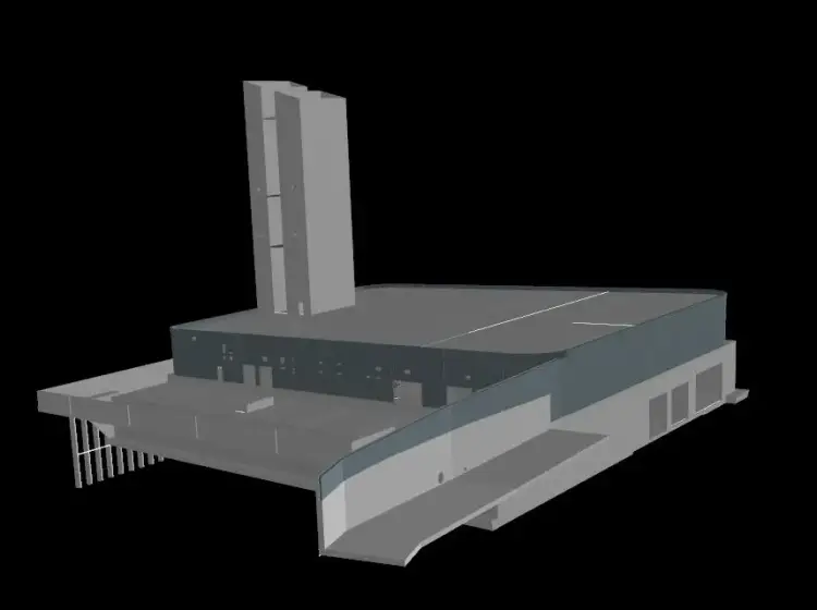
Existing conditions captured in full, using total stations, GNSS, laser scanning or LiDAR drone depending on the site.
Survey Monitoring
Movement measured and reported on bridges, retaining walls, excavations and heritage structures, through construction and the defects liability period.
A-SPEC Surveys
Council-format GIS asset data with every attribute filled in properly, so the submission gets approved the first time.
Renewable Energy
Solar farms, battery storage and wind, holding tight tolerances across thousands of repeated installations on fast-moving sites.
Tender Volumes & Estimating
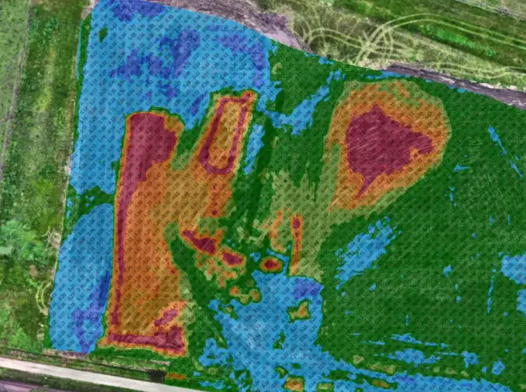
Quantities, cut and fill heat maps and constructability checks that surface clashes while they are still questions, not variations.
Survey & Data Management
A senior survey manager running the whole survey function, from design model review to final as-constructed handover.
Landscaping
Site control, datum checks and rover setup for landscape crews, plus the as-constructed and as-setout plans at close-out.
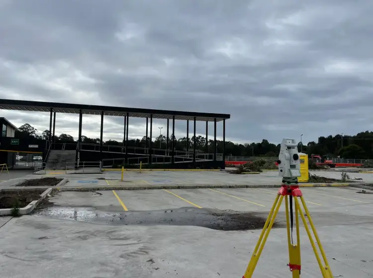

15 Years on Victorian Civil Projects
Outright Surveying works across Victorian civil and infrastructure construction, from local council works through to major transport and renewable energy projects.
We work with:
- Civil contractors and earthworks crews
- Utility and trenchless contractors
- Engineers, designers and consultants
- Councils and infrastructure authorities
- Estimators and bid teams
- Landscape contractors and project managers
That breadth is what lets us pick up a job mid-project. A monitoring programme that needs to run through the defects liability period, a machine control model that will not load, or a tender due Friday, all get handled by people who have done the construction as well as the survey.
"I’ve been working with Outright Surveying on several projects. The team consistently deliver with reliable and easy to deal with Surveyors, making the projects run smoothly." Rowan Bird Project Survey Manager - Seymour Whyte
About Outright SurveyingOur Recent Projects
- $126 million
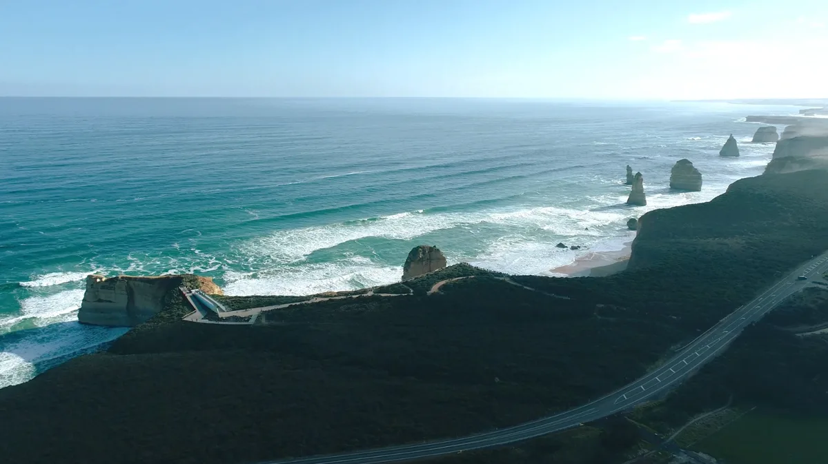
12 Apostles Visitor Experience Precinct - Survey Management Across a $126 Million Coastal Build
Integrated survey management for the $126 million 12 Apostles redevelopment, covering civil, structural, building, services and landscape works in a sensitive coastal environment.
- $700 million
Wooreen BESS - Survey Support Across 350 MW of Battery Storage
Survey control, machine control and high-precision electrical setout across one of Australia's largest utility-scale battery storage developments in the Latrobe Valley.
Terang BESS - Coordinated Setout Across a Congested Battery Storage Site
Construction surveying and spatial support for the Terang Battery Energy Storage System, covering civil, structural and detailed electrical setout within a condensed site footprint.
Civil and Engineering Surveying Services Across Victoria
Construction Set Out
Set out is the bridge between design and build. Done well, trades work confidently and the programme moves. Rushed or late, every following task wears the cost in rework, clashes and wasted material.
We cover subdivision setout, drainage and sewer, utility works, road, kerb and pavement, structures and residential, plus verification and as-builts. We can also configure your site rover so your own crew works off the same control between our visits.
Learn more about construction set outCivil Construction
Civil work means long alignments, staged construction and control that has to stay consistent from one stage to the next.
Roads, drainage, earthworks, subdivisions and public assets all depend on a control network established properly at the start and transferred carefully as the job progresses. Traffic management, variable ground and extended site boundaries make that harder, not optional.
Learn more about civil construction surveyingUtility Surveys
Accurate service information is what keeps an excavation safe and a design buildable. We locate above and below ground assets to Australian Standards quality levels, working inside your permit system, SWMS and safety framework.
Because our surveyors have worked alongside utility contractors installing water, sewer, drainage, gas, electrical and telecommunications, we can read the records and pick the likely alignments. That means pothole plans with holes where they will actually confirm something, rather than excavation for its own sake.
We also support directional drilling and trenchless work with bore alignment surveys, long sections, profiles and clash assessments, and consolidate records, before-you-dig plans, potholes and as-constructed data into a single dataset everyone works from.
Learn more about utility surveysMachine Control
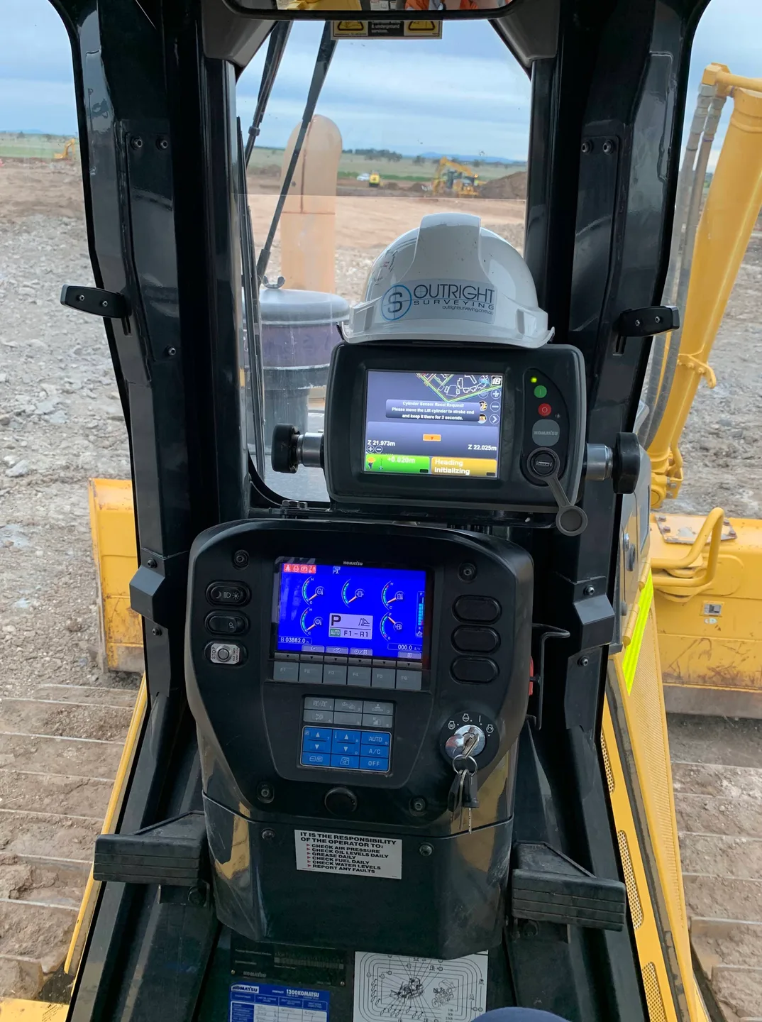
Machine control is only as good as the model behind it. We do not simply convert a design file, we build the model for the operator and the way the machine works in the field, so it is clean, unambiguous and fast to run.
We prepare and support models across Trimble Earthworks and GCS900, Leica iCON, Topcon and others, including subgrade models for pavements, hardstands and roads, and detailed models for structural excavations, footings, drainage and retaining walls.
We also support UTS grader systems, establishing and verifying site control, calibrating localisations and troubleshooting when a system is not reading right.
Learn more about machine controlFeature Surveys
Good engineering design starts with knowing what is already there. We capture buildings, kerbs, services, drainage assets, pavements, vegetation, utilities and levels in the detail the project needs.
The method follows the site, not the other way around. Robotic total stations, GNSS, laser scanning and LiDAR drone, used alone or combined, so a tight urban corridor and a hundred hectare greenfield each get the approach that suits them.
Deliverables include 2D and 3D CAD, survey plans and PDFs, point clouds, orthophotos, digital terrain models, long and cross sections, contours and GIS-compatible datasets.
Learn more about feature surveysSurvey Monitoring
Monitoring protects assets and verifies performance on bridges, buildings, retaining walls, excavation support systems and heritage structures.
The value is not in the observations, it is in the repeatability. We establish robust control networks and hold the same procedures from the first reading to the last, because a movement trend only means something if the method behind it never changed.
Programmes can run well past construction completion, through the defects liability period to handover. For complex assets we use terrestrial laser scanning to capture millions of points across a whole structure, which shows deformation that a handful of prisms would miss entirely.
Learn more about survey monitoringA-SPEC Surveys
An A-SPEC survey is not a traditional survey. It is a spatially organised database, formatted for the GIS software councils use, where every object carries fifteen to twenty attributes describing its properties.
On a plan it looks basic. All the value sits in metadata you can only see in GIS, which is exactly why incomplete submissions get bounced back. A-SPEC is the umbrella specification, with sub-specs for buildings, drainage, open space, road reserve, sewerage, telecommunications and water.
We are qualified A-SPEC surveyors and councils regularly recommend us to developers and contractors. We can also run an A-SPEC and a traditional survey off the same site visit, which costs you less than doing them separately.
Learn more about A-SPEC surveysRenewable Energy
Solar farms, battery storage and wind projects are repetition at scale. Thousands of near-identical installations, all needing to hold tolerance, on a site moving fast with several contractors working at once.
We support the full construction sequence: survey control, set out, machine control, earthworks verification, structural set out, cable trenching, drainage, roads and as-constructed surveys.
That means integrating with whoever else is on site and keeping the quality assurance consistent across every package.
Learn more about renewable energy surveyingTender Volumes & Estimating
Quantity calculations often sit underneath multi-million dollar decisions, on a deadline.
We provide detailed quantities, earthworks estimates and terrain models, presented as plans, colour-coded cut and fill heat maps, volume reports and digital models that show the scope rather than just stating a number. For design and construct work we can help with concept designs, earthworks optimisation and preliminary modelling.
The bigger value is often what we find. Design inconsistencies, constructability problems and clashes picked up during the tender phase are questions you can ask while bidding, instead of variations you argue about later.
Learn more about tender volumes and estimatingSurvey & Data Management
Survey management means coordinating the whole survey function, not just supplying surveyors. We can run it independently and be the single point of contact from design model review through to as-constructed documentation and handover.
Our senior survey managers work proactively, spotting issues, setting priorities and resolving problems before they reach the crews. We also manage the digital side: design models, machine control files and spatial databases kept current and synced between field and office, administered in Civilio, Propeller or whatever platform the project uses.
A dedicated manager improves visibility and control. Progress gets tracked, resources coordinated and survey budgets monitored, which in practice often saves more than the role costs.
Learn more about survey and data managementLandscaping
Landscape projects run on tight programmes and tighter budgets, so efficiency matters as much as accuracy.
We establish the site control, verify the datum and localise so the job is coordinated to the design intent, then configure Topcon, Trimble or Leica rovers so your own crew can handle basic setout as they go. Landscape documentation often arrives incomplete, and our experience means we flag what is missing early rather than discovering it mid-build.
At close-out we prepare as-constructed surveys, A-SPEC surveys and as-setout plans for council approval and handover.
Learn more about landscaping surveys
Civil Surveying Questions
Small discrete jobs like a set of levels or a stockpile volume get a fixed price. Ongoing site support is usually a day or half-day rate, and on larger projects a retained survey manager often works out cheaper than calling crews in and out. Tell us the project and the duration and we will tell you which suits.
Yes. We work across Trimble Earthworks and GCS900, Leica iCON, Topcon and UTS grader systems. We build the model for the operator rather than converting the design file straight across, which is usually the difference between a model that runs and one that has the crew ringing you at seven in the morning.
Yes, and it happens regularly. We start by reviewing the existing control and design models, because inheriting someone else's control without checking it is how errors get compounded. From there we can run daily site survey or take on the whole survey management function.
It is a standardised GIS asset database that most Victorian councils require for as-constructed submissions. Every object carries fifteen to twenty attributes describing its properties, which is why it looks basic on a plan and gets rejected when it is done half-heartedly. If your project hands assets to a council, you will almost certainly need one.
We survey and record exposed services, prepare pothole investigation plans and coordinate the investigations on site. Because we have worked alongside utility contractors, we can read the records and recommend where to pothole so you validate the information without excavating more than you need to.
Yes. We work across metro Melbourne, South West Victoria and Gippsland, and regional infrastructure and renewable energy projects make up a large share of our civil work.
Trusted By Businesses Across Australia
- Luke Vearing Construction Manager at Speedpro Civil
Speedpro has had the pleasure of working alongside Outright Surveying for over 10 years, and we are always thoroughly impressed with their level of expertise, professionalism, accuracy, and reliability.
- Rowan Bird Project Survey Manager at Seymour Whyte
I’ve been working with Outright Surveying on several projects. The team consistently deliver with reliable and easy to deal with Surveyors, making the projects run smoothly.
- Nevil Sabu Alex Construction Manager at John Holland
Outright Surveying has been my trusty surveying partner for close to a decade. The service I have received from their surveyors and management team has been second to none.

Start Your Project With Confidence
Infrastructure surveys, building setouts, 3D scanning, aerial mapping and more. Our experienced team is ready to help. Tell us about your requirements and we'll respond as soon as possible.
- Phone 0400 751 199
- Address 4/20 Duerdin St, Clayton
Melbourne
- Phone 0413 147 976
- Location South West Regional Victoria