
Drone & Aerial LiDAR Surveys
Drone surveying captures accurate spatial information across large or inaccessible sites. We fly both LiDAR and high-resolution photogrammetry, and we own the LiDAR drone rather than hiring one.
Book A Meeting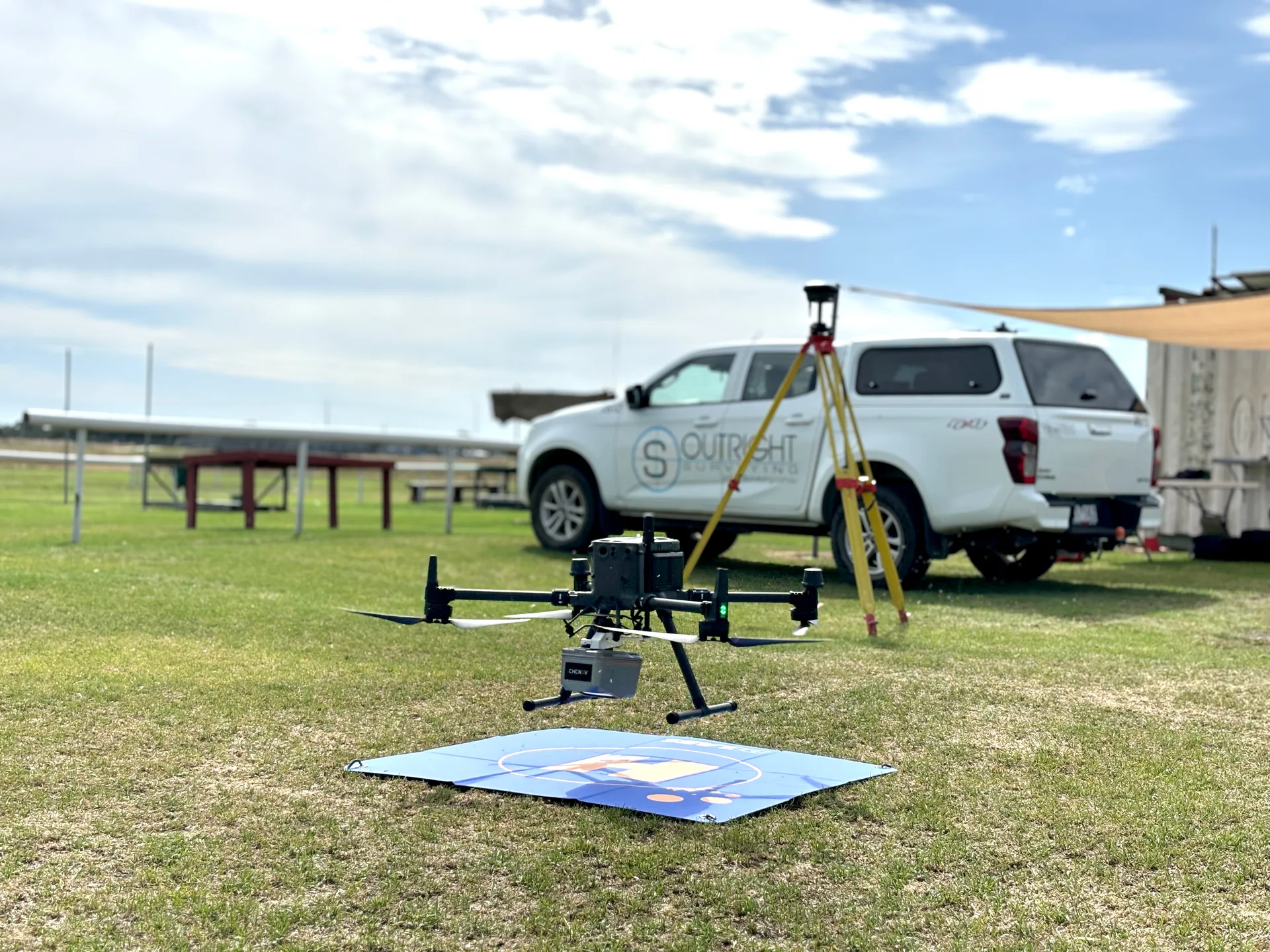
Some Sites Do Not Suit a Ground Crew
Drone capture is not about replacing conventional survey. It is about the jobs where sending people across the ground is slow, expensive or unsafe.
Large Open Areas
Covering hectares on foot takes days. The same ground gets captured in a single flight with far more detail.
Vegetation Hiding the Ground
Photogrammetry sees the top of the canopy. LiDAR reads the surface underneath it, which is the surface you need.
Live Road Corridors
Traffic control on a road survey often costs more than the survey. Some corridors can be flown without a closure at all.
Access You Cannot Get
Steep, unstable or restricted ground that a field crew cannot safely walk is captured from the air without the problem arising.
LiDAR and Photogrammetry
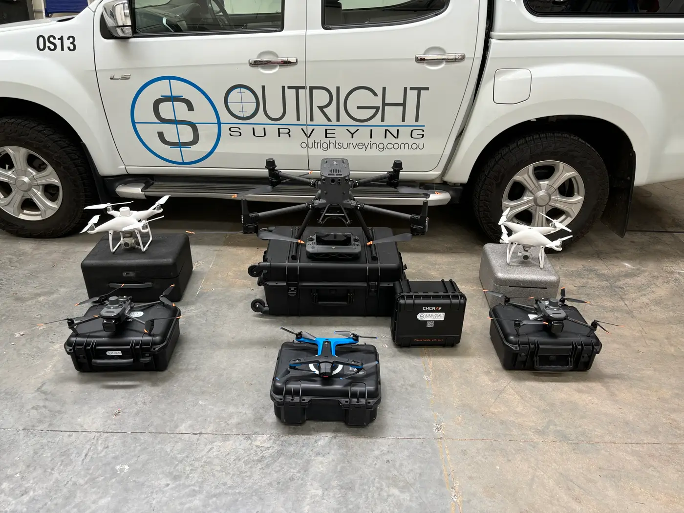
We select the method to suit the site, and frequently combine both on the same project.
LiDAR
Light Detection and Ranging uses laser pulses to measure the ground and surrounding features from the air, capturing ground level height data through vegetation that conventional aerial photography cannot see.
High-Resolution Photogrammetry
Ultra-high-resolution imagery producing detailed orthophotos and surface data, well suited to open ground and progress capture.
Efficient for Earthworks
Both techniques are particularly efficient for earthworks tracking and large feature surveys where the area is the constraint.
Safety and Compliance
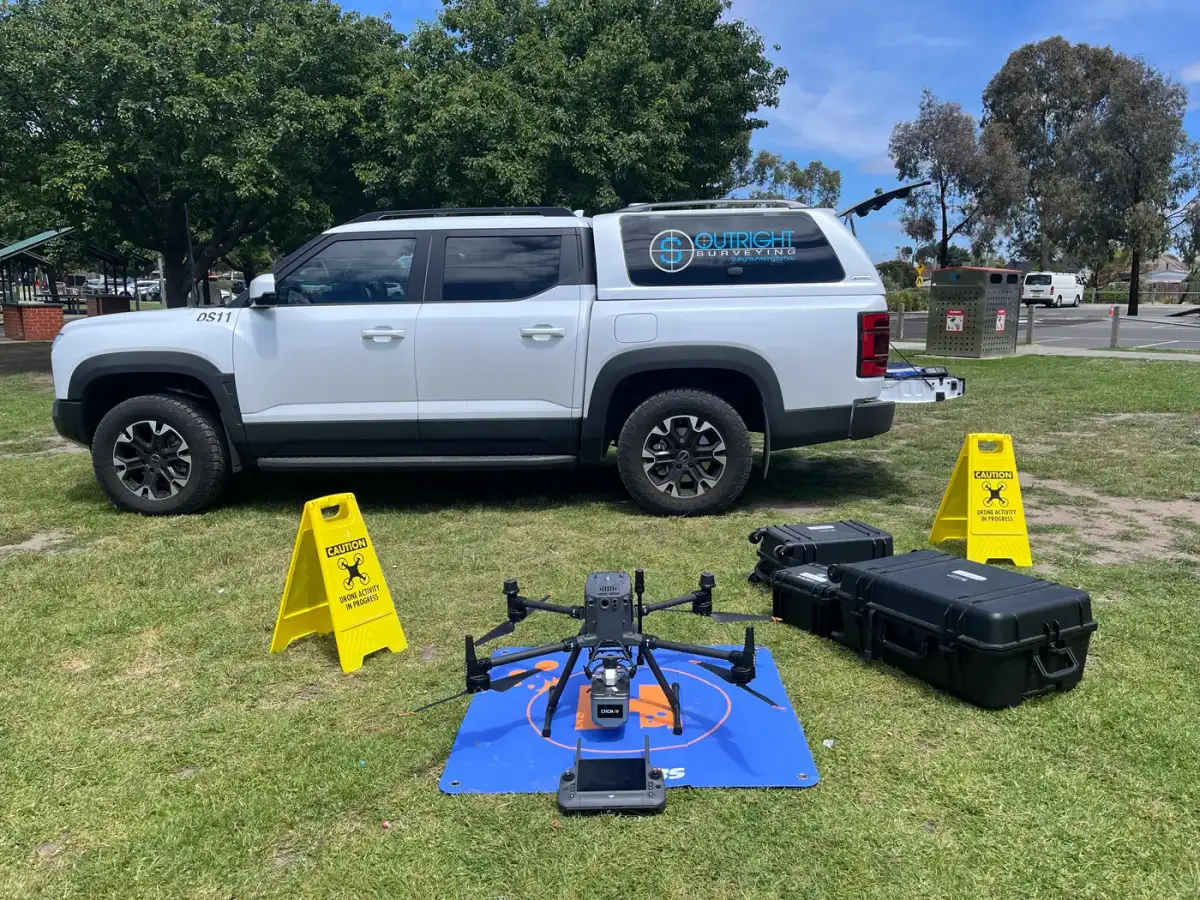
All flights are undertaken by experienced pilots operating under CASA accreditation and independently audited operating procedures.
Deliverables
Outputs tailored to the project, in formats your team already works in.
Models and Terrain Data
Point clouds, digital terrain models, contour plans and feature surveys derived from the capture.
Imagery and Mapping
High resolution aerial imagery, corridor mapping and digital twin datasets.
Volumes and GIS Integration
Stockpile calculations plus integration into GIS platforms including Civilio and Propeller, which we use regularly.
Drone Surveying Across Victoria
Why LiDAR Matters
Outright is one of the few surveying companies in Victoria that owns a LiDAR capable drone. That matters because it makes LiDAR a normal option on your project rather than something that has to be subcontracted and scheduled around someone else.
LiDAR uses laser pulses to accurately measure the ground and surrounding features from the air. Unlike conventional aerial photography, it captures ground level height data through vegetation, which lets us cover large open areas efficiently and often without full or direct access.
Roads Without Traffic Control
We can collect data on certain roads without needing to close them, which reduces cost and largely removes the need for traffic control.
On a road survey the traffic management is frequently the largest line item, so removing it changes the economics of the job entirely rather than shaving a little off the edges.
Safety and CASA Compliance
All flights are undertaken by experienced pilots operating under CASA accreditation and independently audited operating procedures, ensuring safe and compliant operations.
We put safety first and are equipped with a parachute drone for flying over populated areas, which is what makes urban and semi-urban capture practical rather than theoretical.
Earthworks and Large Feature Surveys
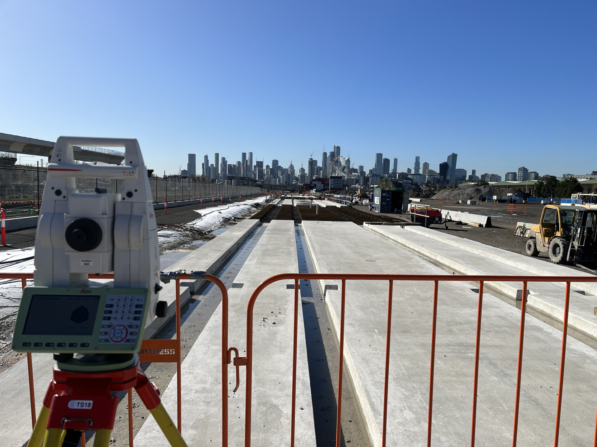
These techniques are particularly efficient for earthworks tracking and large feature surveys, where the sheer area involved is what makes conventional ground survey expensive.
Regular flights measure what has actually moved and support payment claims with data rather than estimates.
Learn more about earthworks trackingDeliverables and Platforms
We provide point clouds, high resolution aerial imagery, digital terrain models, contour plans, feature surveys, stockpile calculations, corridor mapping and digital twin datasets, tailored to project requirements.
We are also highly experienced integrating drone data into GIS software including Civilio and Propeller, so if your project already runs on one of those we work inside it.
Learn more about feature surveys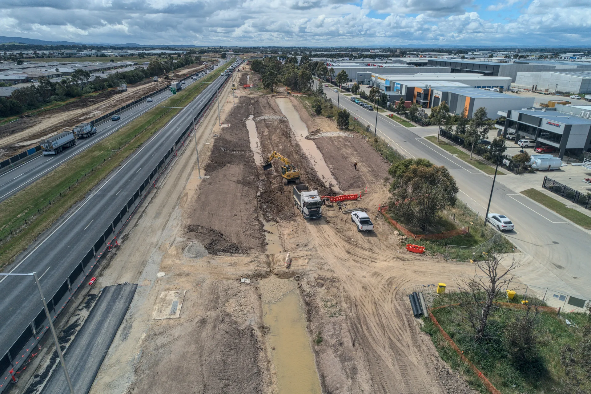
Drone Survey Questions
It comes down to site area, whether you need LiDAR or photogrammetry, and what deliverables you want out. A single stockpile flight is a small job. A long corridor captured with LiDAR and delivered as a terrain model and feature survey is larger. On big or vegetated sites it is usually cheaper than the equivalent ground survey. Send us the site and we will quote it.
Photogrammetry builds a surface from overlapping photos, so it can only see what the camera sees, which on vegetated ground is the top of the canopy. LiDAR uses laser pulses that penetrate vegetation and read the actual ground surface underneath. If your site has any significant cover, that difference decides the job.
Often, yes. We can collect data on certain roads without the need for closure, which reduces cost and largely removes the need for traffic control. Whether it applies depends on the corridor, so tell us the location and we will confirm.
Yes. All flights are undertaken by experienced pilots operating under CASA accreditation and independently audited operating procedures. For work over populated areas we fly a parachute-equipped drone.
Tied into ground control, our drone data meets engineering survey standards for the work it supports. Where the tolerance is tighter than that, terrestrial laser scanning or conventional survey is the right tool and we will say so rather than selling you a flight.
Yes. We work across metro Melbourne, South West Victoria and Gippsland, and large regional sites are exactly where drone capture is most cost effective against putting a crew on the ground for a week.
Trusted By Businesses Across Australia
- Luke Vearing Construction Manager at Speedpro Civil
Speedpro has had the pleasure of working alongside Outright Surveying for over 10 years, and we are always thoroughly impressed with their level of expertise, professionalism, accuracy, and reliability.
- Rowan Bird Project Survey Manager at Seymour Whyte
I’ve been working with Outright Surveying on several projects. The team consistently deliver with reliable and easy to deal with Surveyors, making the projects run smoothly.
- Nevil Sabu Alex Construction Manager at John Holland
Outright Surveying has been my trusty surveying partner for close to a decade. The service I have received from their surveyors and management team has been second to none.

Start Your Project With Confidence
Infrastructure surveys, building setouts, 3D scanning, aerial mapping and more. Our experienced team is ready to help. Tell us about your requirements and we'll respond as soon as possible.
- Phone 0400 751 199
- Address 4/20 Duerdin St, Clayton
Melbourne
- Phone 0413 147 976
- Location South West Regional Victoria