
Feature & Level Surveys
The existing site captured properly, so your architect or engineer designs from what is actually there. Levels, structures, trees, drainage and services, from a single house block to a full infrastructure corridor.
Book A Meeting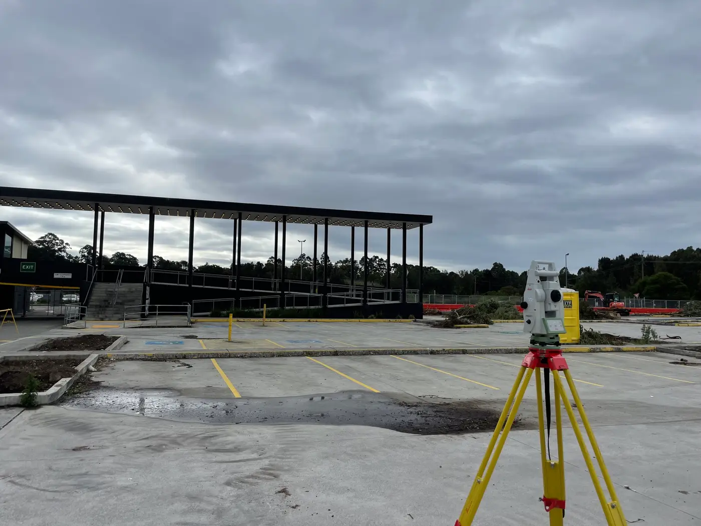
Design Built on Assumption Gets Expensive
Every design decision rests on what the site is assumed to be. When that assumption is wrong, the cost lands during construction.
Incomplete Site Information
A survey that misses features or covers only part of the site leaves gaps, and designers fill gaps with assumptions.
Levels That Do Not Match
Get the surface levels wrong and the earthworks quantities, the drainage falls and the finished floor level all follow them.
Services Nobody Recorded
Drainage, pits and utilities that were never captured turn into clashes once excavation starts.
Data Your Software Cannot Use
A technically accurate survey delivered in the wrong format still costs the design team days of rework.
How a Feature Survey Runs
We scope the survey against what the design team actually needs, then capture it in one visit.
Project Consultation
We confirm what the design requires, what level of detail is needed and what format the consultants work in.
Title and Information Review
We review the title, any available survey information and the project requirements before attending site.
Detailed Field Survey
The site is captured with modern survey equipment, using whichever combination of methods suits the terrain, the vegetation and the access.
Processing and Delivery
Data is processed, quality checked and prepared as CAD drawings and digital deliverables in the format your team needs.
What You Get at the End
Every project is different, so the deliverables are matched to the workflow rather than a standard package.
CAD and Survey Plans
Traditional 2D and 3D CAD files, detailed feature survey plans and PDF drawings.
Models and Terrain Data
High-density point clouds, digital terrain models, contours, surface models, long sections and cross sections.
Imagery and GIS
Ultra-high-resolution orthophotos and aerial imagery, plus GIS compatible datasets where the project needs them.
Related Projects
Port Campbell Feature & Level Survey - Mapping a Rural Development Site
A detailed feature and level survey of a rural development site at Port Campbell, capturing terrain, structures and vegetation to support early planning and design.
- $60 million
Hawkesdale Wind Farm – Surveying Support for a 96.6MW Renewable Energy Project
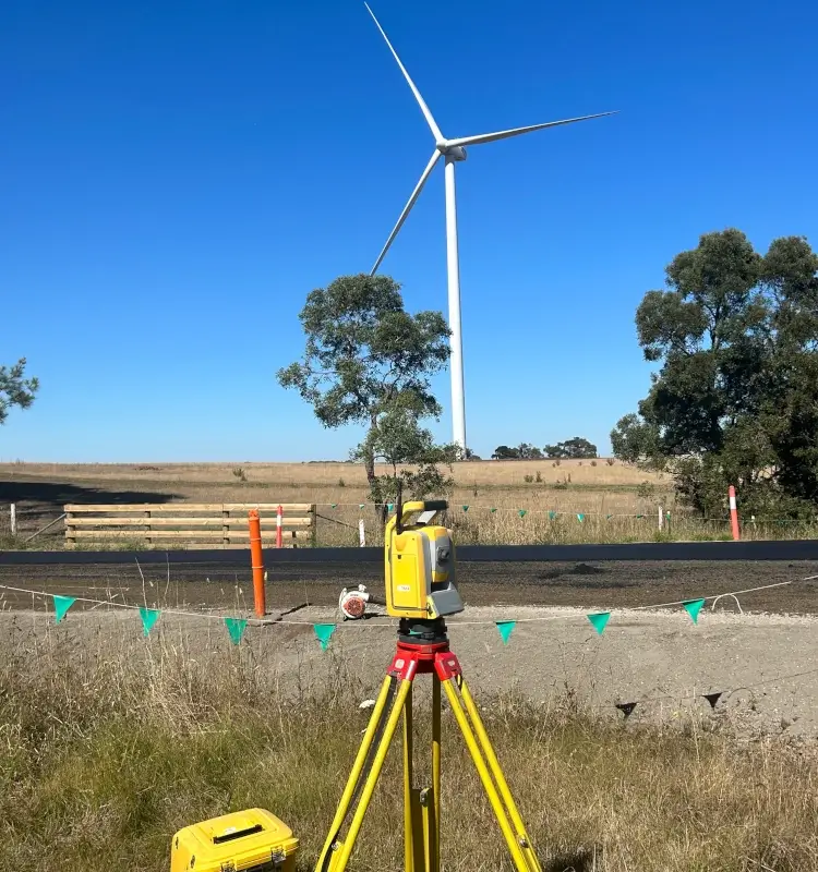
Comprehensive surveying support for the Hawkesdale Wind Farm project, including feature surveys, design volumes, full field setout, survey management, and final as-builts across 23 turbines.
Feature & Level Surveys Across Melbourne and Victoria
What a Feature Survey Captures
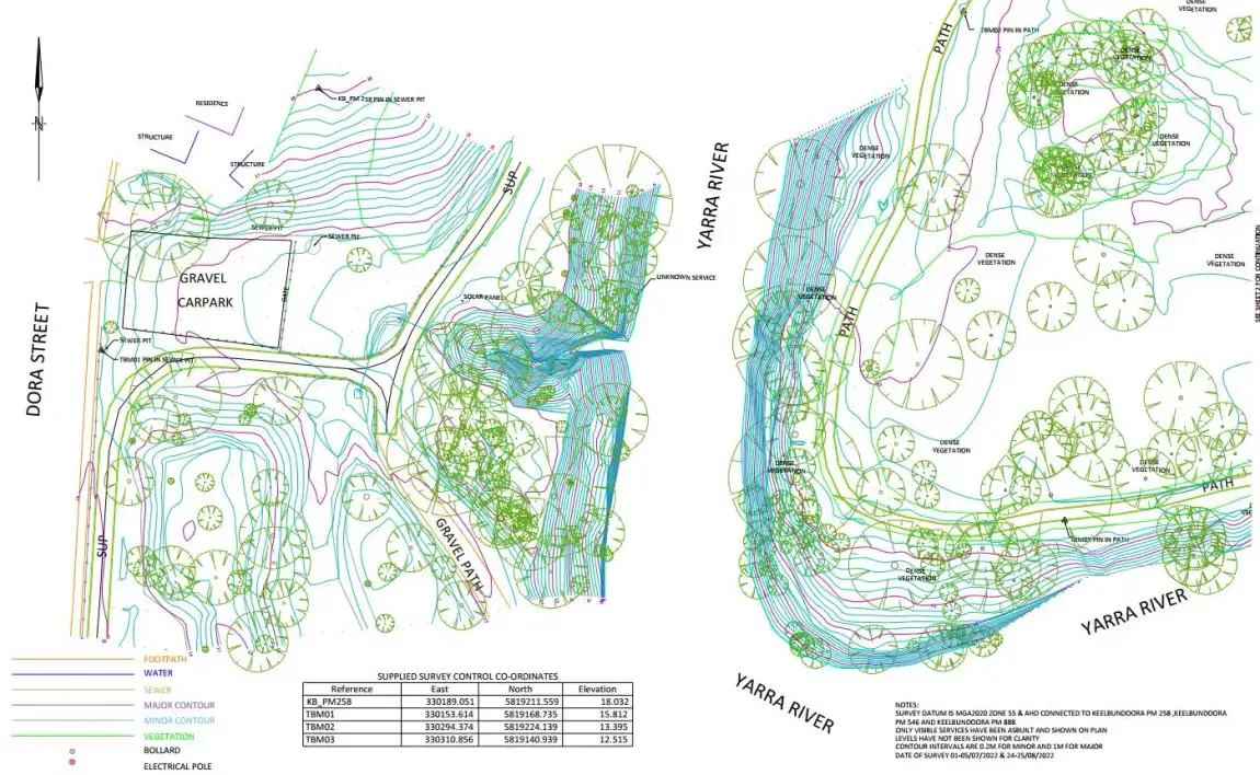
A feature survey provides a detailed representation of existing site conditions. We locate the natural and built features, including buildings, fences, trees, roads, driveways, retaining walls, pits, services, drainage infrastructure, surface levels and the relevant adjoining property information.
The result is a reliable survey base that architects, engineers, designers and contractors can all work from.
For House Builds, Extensions and Landscaping
If you are designing a new home, an extension or a landscape project, the feature and level survey is what your architect or designer works from. It shows them the fall across the site, where the existing structures and trees sit, and what services are already there.
An accurate survey up front reduces design changes, identifies constraints before they become problems, and prevents the expensive surprises that turn up once construction starts.
See our full range of cadastral surveying servicesFor Civil and Infrastructure Projects
On larger projects the same survey underpins the engineering design, and the scale changes the method. We capture kerbs, pavements, drainage assets, utilities and vegetation across long corridors and large sites.
Combining technologies is normal here. A LiDAR drone covers open ground quickly and reads levels through vegetation, laser scanning handles complex structures, and conventional total station and GNSS work fills in the detail that needs the tightest accuracy.
See our full range of civil and engineering servicesChoosing the Right Method
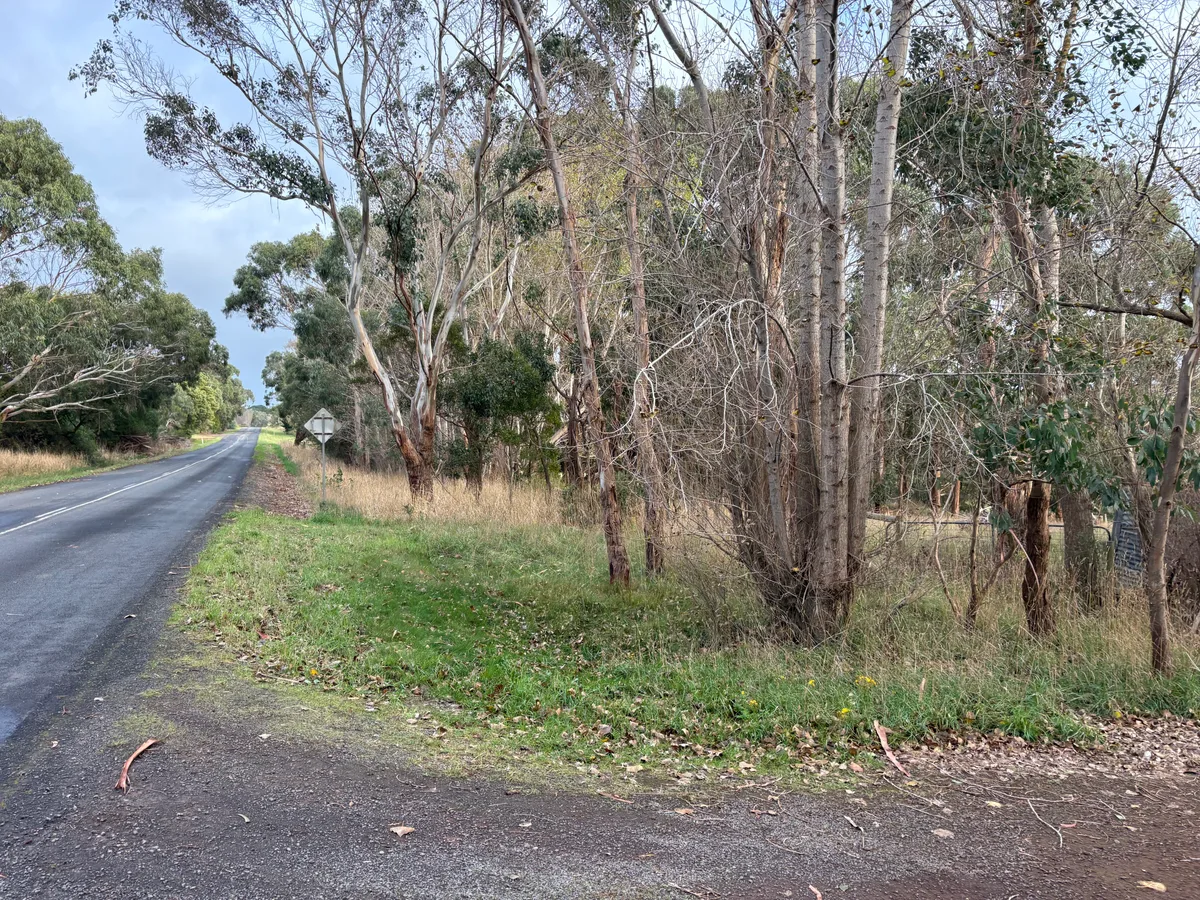
There is no single correct approach. A heavily vegetated rural block, a tight urban infill site and a ten kilometre road corridor each need something different, and the wrong choice either costs too much or misses detail.
We select the most appropriate method, or combine several, based on the site conditions, the access and the level of detail the design actually requires.
Learn more about drone and LiDAR surveyingDeliverables That Fit Your Workflow
Whether you are an engineer, architect, contractor or designer, we supply data ready for immediate use in your preferred software rather than in a format that needs converting first.
If your project requires a customised output or a specific file format, we can tailor the deliverables to suit your existing workflows.
Feature & Level Survey Questions
It depends on the site area, how much detail the design needs and how difficult the site is to access. A standard suburban block for a house design is a small fixed-price job. A large or heavily vegetated site, or a long infrastructure corridor, costs more because the capture takes longer. Send us the address and tell us what the survey is for, and we will price it.
Buildings, fences, levels, trees, driveways, retaining walls, pits, services, drainage features and other relevant site information, plus the adjoining property detail your designer needs. We scope it against what the design actually requires rather than capturing everything by default.
Architects, engineers and designers rely on it to produce accurate plans, minimise design changes and identify constraints before construction begins. An up-to-date feature survey reduces project risk, saves time during design, and prevents costly mistakes on site.
DWG and PDF as standard, plus point clouds, digital terrain models, contours and surface models, long and cross sections, orthophotos and GIS compatible datasets. If you need a specific format for your design software, tell us and we will match it.
Yes. This is where the method matters. LiDAR drone reads ground levels through vegetation that photogrammetry and conventional methods struggle with, and laser scanning handles complex or unsafe structures without putting someone next to them.
Yes. We work across metro Melbourne, South West Victoria and Gippsland, and large regional sites are exactly where drone and scanning capture earns its keep.
Trusted By Businesses Across Australia
- Luke Vearing Construction Manager at Speedpro Civil
Speedpro has had the pleasure of working alongside Outright Surveying for over 10 years, and we are always thoroughly impressed with their level of expertise, professionalism, accuracy, and reliability.
- Rowan Bird Project Survey Manager at Seymour Whyte
I’ve been working with Outright Surveying on several projects. The team consistently deliver with reliable and easy to deal with Surveyors, making the projects run smoothly.
- Nevil Sabu Alex Construction Manager at John Holland
Outright Surveying has been my trusty surveying partner for close to a decade. The service I have received from their surveyors and management team has been second to none.

Start Your Project With Confidence
Infrastructure surveys, building setouts, 3D scanning, aerial mapping and more. Our experienced team is ready to help. Tell us about your requirements and we'll respond as soon as possible.
- Phone 0400 751 199
- Address 4/20 Duerdin St, Clayton
Melbourne
- Phone 0413 147 976
- Location South West Regional Victoria