Renewable Energy Surveying Services
Expert surveying solutions that help renewable energy developers complete projects on time and under budget with precision and confidence.
Book A Meeting
Industry-Leading Expertise
Over 15 years of surveying experience across infrastructure, commercial, and specialized projects.

Efficient Project Delivery
Our proactive approach means fewer surprises and smoother workflows. We anticipate needs before they become roadblocks.

Complete Surveying Solutions
From traditional surveys to cutting-edge 3D scanning, one reliable partner for all your surveying needs.
Challenges in Renewable Energy Development
Planning and developing renewable energy projects comes with unique surveying challenges that can impact timelines, budgets, and overall project success.
Site Feasibility Concerns
Determining optimal placement for solar arrays, wind turbines, and supporting infrastructure requires comprehensive topographic analysis that traditional methods struggle to deliver at scale.
Environmental Compliance Complexity
Navigating strict environmental regulations demands precise documentation of existing site conditions, setbacks, and potential impacts that can be difficult to capture without specialized surveying expertise.
Construction Accuracy Demands
Renewable infrastructure requires millimeter-precision placement for maximum efficiency, with even minor surveying errors potentially reducing energy generation capacity and project ROI.
Timeline Pressures
The rapid pace of renewable development creates intense schedule demands, making traditional surveying workflows a potential bottleneck that can delay critical project milestones.
Surveying Solutions for Renewable Energy Projects
With 15 years of engineering surveying expertise, Outright Surveying delivers specialized solutions that address the unique challenges of renewable energy development.
Comprehensive Site Assessment
Our advanced drone and LiDAR technology captures complete site data regardless of terrain complexity, providing developers with detailed topographic information to optimize placement and maximize energy generation potential.
Environmental Documentation Precision
We deliver accurate environmental documentation that satisfies regulatory requirements, using high-resolution 3D scanning to create detailed records of pre-development conditions and help ensure compliance throughout the project lifecycle.
Accelerated Project Timelines
Our efficient surveying workflows and rapid data processing capabilities help keep renewable projects on schedule, delivering critical information faster without sacrificing accuracy or quality.
Construction-Grade Accuracy
Our experienced surveyors and state-of-the-art equipment deliver the millimeter-precision required for optimal renewable infrastructure placement, ensuring maximum energy production and operational efficiency.
Our Renewable Energy Surveying Services
We support renewable energy projects at every stage with specialized surveying services that combine technical expertise with practical construction knowledge.
Preliminary Site Investigation
Comprehensive topographic surveys and site analysis that help identify optimal locations for solar arrays, wind turbines, and supporting infrastructure while documenting existing conditions and potential constraints.
Detailed Design Support
Precise elevation modeling and infrastructure mapping that provides engineers with the detailed information needed to maximize energy generation efficiency and minimize construction challenges.
Construction Phase Services
Exact positioning and layout services that ensure renewable infrastructure is installed according to specifications, with ongoing quality control surveying to verify proper placement and alignment.
As-Built Documentation
Detailed final surveys that document completed installations, verify compliance with design specifications, and provide essential records for maintenance and future site development.

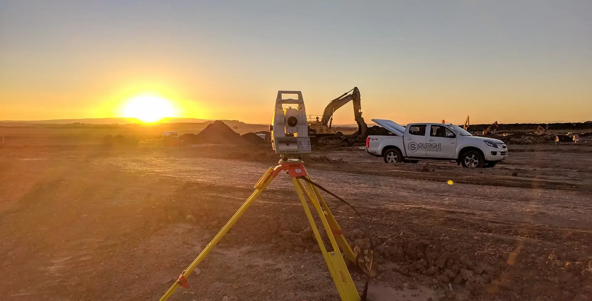
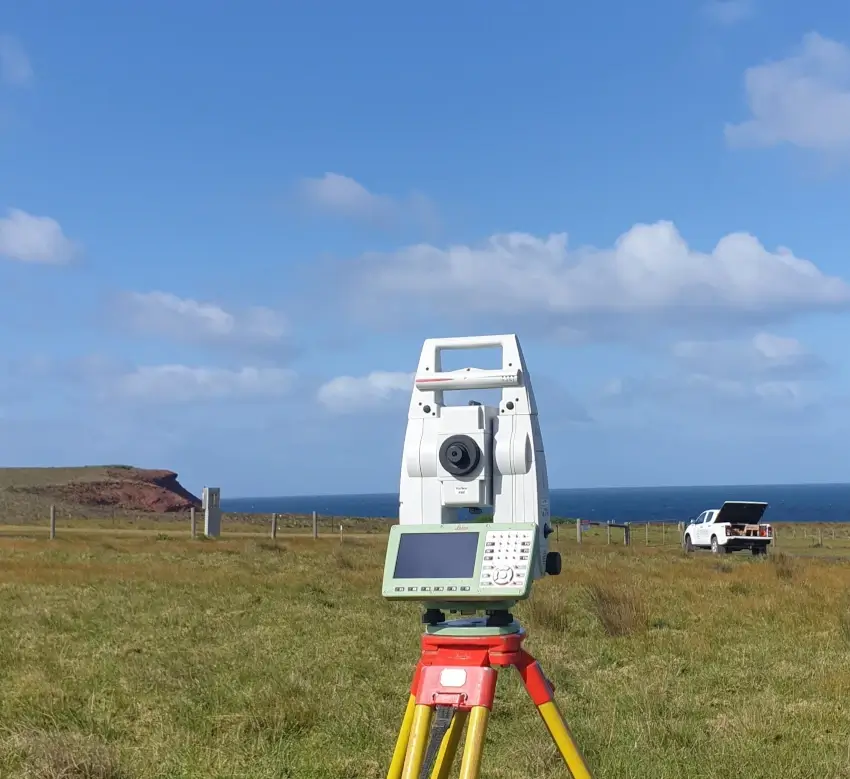
Our Equipment
Our specialized equipment and software enable us to meet the unique requirements of renewable energy development projects across Victoria.
Our Matrice M350 drone with a CHCNAV LiDAR attachment captures comprehensive site data in challenging terrain, optimizing placement for solar arrays and wind turbines. We deploy current-generation Leica and Trimble total stations, along with GPS rovers, for millimeter-precise infrastructure placement that maximizes energy production.
For detailed site documentation, we utilize our fleet of total stations and GPS systems to ensure accurate positioning and verification throughout the project.
We process all data using specialized software, including 12D, Trimble Business Center, and AutoCAD, to deliver actionable results that support your renewable energy projects from start to finish.
Trusted By Businesses Across Australia
- Luke Vearing Construction Manager at Speedpro Civil
Speedpro has had the pleasure of working alongside Outright Surveying for over 10 years, and we are always thoroughly impressed with their level of expertise, professionalism, accuracy, and reliability.
- Rowan Bird Project Survey Manager at Seymour Whyte
I’ve been working with Outright Surveying on several projects. The team consistently deliver with reliable and easy to deal with Surveyors, making the projects run smoothly.
- Nevil Sabu Alex Construction Manager at John Holland
Outright Surveying has been my trusty surveying partner for close to a decade. The service I have received from their surveyors and management team has been second to none.
Start Your Project With Confidence
Infrastructure surveys, building setouts, 3D scanning, aerial mapping and more. Our experienced team is ready to help. Tell us about your requirements and we'll respond as soon as possible.
- Phone 0400 751 199
- Address 4/20 Duerdin Street, Clayton
Melbourne
- Phone 0413 147 976
- Location South West Regional Victoria