Project Overview
The Mordialloc Freeway is a major road infrastructure link in Melbourne’s south-east, delivered by the McConnell Dowell Decmil Joint Venture (MCDDJV). The $500 million project created a 9 km connection between the Mornington Peninsula Freeway and the Dingley Bypass - streamlining traffic and improving safety for tens of thousands of daily commuters.
Key features included:
- 9 km of new dual carriageway
- 6 new bridges, including a 360m 12-span wetlands overpass
- 8 km of shared use paths
- Noise walls and environmentally sensitive construction zones
The freeway opened ahead of schedule in late 2021, cutting travel times and easing congestion across the south-east.
Outright Surveying was engaged to provide complete surveying services — including field setout, bridge control, office-based computations, and full survey project management over the duration of the build.
Site Complexity
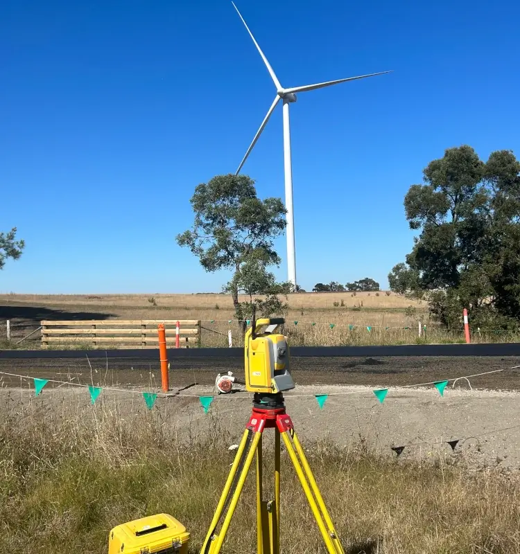
The route passed through a mix of residential zones, arterial roads, and environmentally sensitive wetlands. Several sections required:
- Precise integration with existing roads and bridges
- Careful coordination around live traffic and services
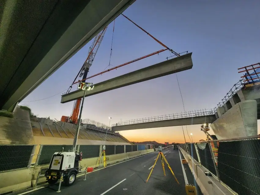
- Complex piling and geometry for long-span bridges
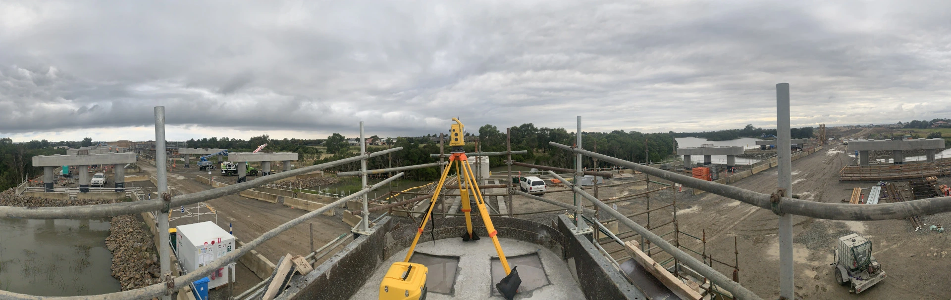
- Survey control maintained over a 9km linear corridor
One of the most technically challenging aspects was the construction of the 360m twin bridge structure over the Mordialloc wetlands — built with 12 spans and designed to minimise environmental impact through piled foundations and elevated decking.
Our Contribution
Outright Surveying provided full survey support from initial site establishment through to practical completion and as-built documentation.
Construction Setout
Our field crews delivered layout across the entire corridor, including:
- Earthworks, drainage, utilities and service relocations
- Subgrade preparation and pavement layers
- Shared user paths, retaining walls, and noise barriers
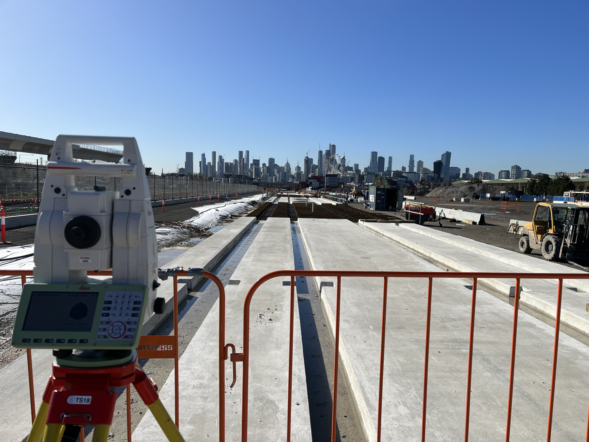
- Bridge footing, pier and deck geometry
Using total stations, GPS and machine control models, our survey team ensured every asset was built to design — with minimal rework and efficient sequencing.
Bridge Alignment & Control
Bridge construction required extremely tight tolerances. We established dedicated control networks and monitored all structures during:
- Piling and foundation placement
- Pier cap construction and elevation checks
- Precast beam installation and deck alignment
This was especially critical on the 12-span wetlands bridge, where any alignment issues across hundreds of metres could compound. Our control ensured flawless deck continuity across all spans.
Survey Computation & Data Management
Outright managed all CAD files, digital design models, and field data processing throughout the project. We provided:
- Clean setout models and layout files
- Earthwork volume calculations and progress tracking
- QA/QC checks and audit-ready survey records
- Final as-built documentation across all structures and alignments
By centralising all survey data management, we gave MCDDJV real-time access to verified, up-to-date spatial info — reducing risk and helping the job run on time.
Results Delivered
- Accurate layout over 9km of infrastructure with no major rework
- Complex bridge spans completed on time and to tolerance
- As-built data delivered promptly for closeout
- One unified survey team managing both field and office seamlessly
Outright’s ability to control large-scale linear works — while coordinating multiple crews, stakeholders, and stages made us a key partner on this Tier 1 transport upgrade. The Mordialloc Freeway stands as proof of how quality surveying underpins quality construction.
Need surveying support on a freeway or major civil project?
Contact Outright Surveying or view our civil construction services.