
Drone & Laser Scanning Victoria
Reality capture across Victoria using LiDAR drones and survey-grade laser scanners. We record a whole site or building in hours, then turn it into the point clouds, models and drawings your team designs from. Book a capture for your project.
Book A Meeting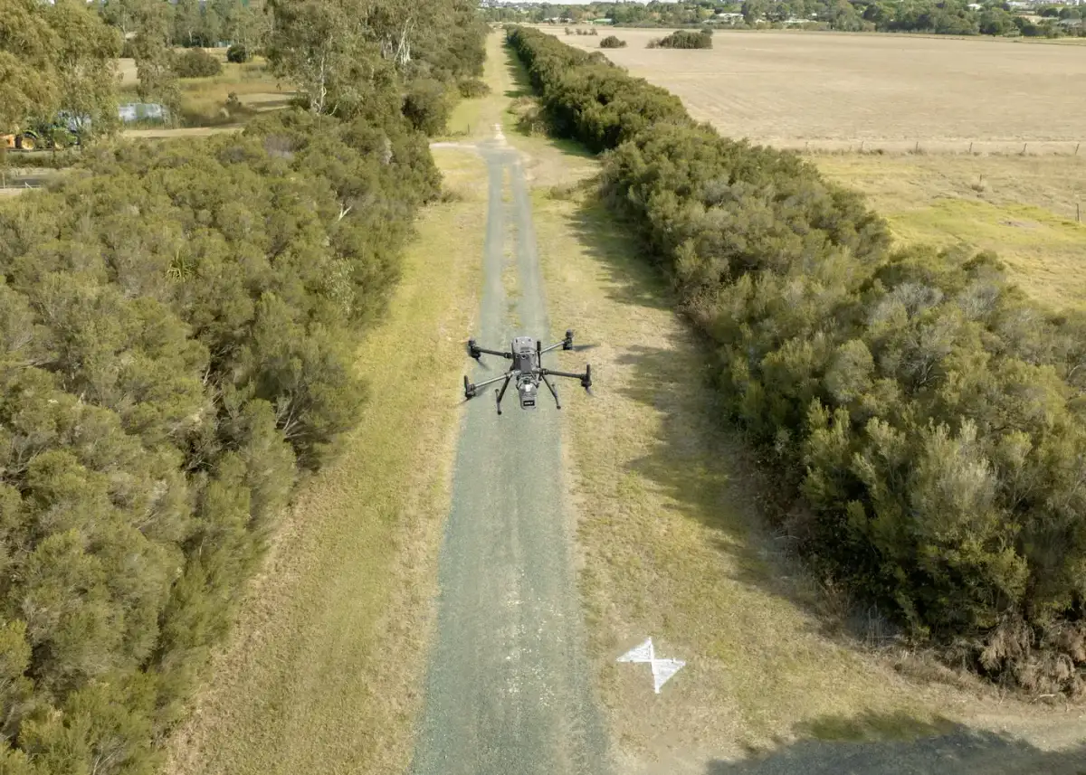
Measure Everything Once, Then Stop Going Back
A tape measure records what someone thought to record. Two months into a design, the dimension nobody took is the one that matters, and someone drives back out to the site.
Reality capture records every visible surface instead. Millions of points, collected in a single visit, that can be measured again years later without setting foot on site. On a working hospital or an operating factory, that difference is the whole point.
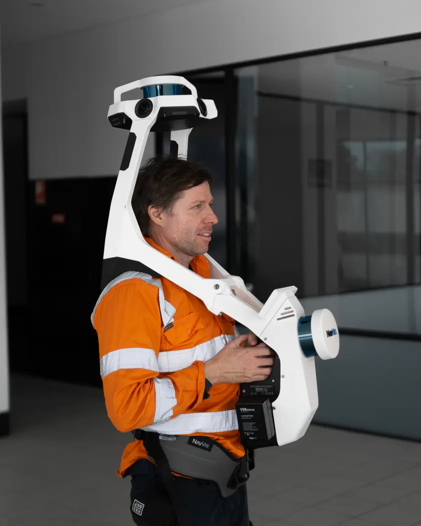
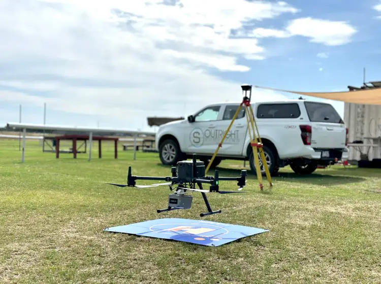
We run LiDAR and photogrammetry drones for open ground and corridors, NavVis mobile mapping for large interiors, and terrestrial scanners where millimetre accuracy is the requirement. All flights are by CASA-accredited pilots under independently audited procedures, with a parachute-equipped drone for work over populated areas.
"Outright Surveying has been my trusty surveying partner for close to a decade. The service I have received from their surveyors and management team has been second to none." Neville Sabu Alex Construction Manager - John Holland
Drone & Scanning Services
Drone Surveying
LiDAR and photogrammetry across large or hard-to-reach sites, reading ground levels through vegetation where photos alone cannot.
Laser Scanning
NavVis mobile mapping for large buildings and terrestrial scanning where millimetre accuracy is the requirement.
Earthworks Tracking
Regular flights that measure what has actually moved, backing up payment claims and catching production shortfalls early.
Architectural Measurement
Existing buildings captured in full for renovation and adaptive reuse, so designers stop working from drawings that no longer match.
Facility Documentation
Digital records of hospitals, warehouses and industrial assets for maintenance, refurbishment and asset planning.
Heritage & Façade
Ornate facades and irregular geometry recorded in colourised detail without touching the building, for conservation and dilapidation records.
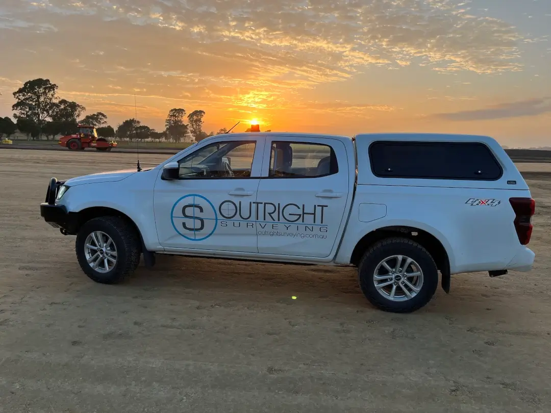
Reality Capture Across Victoria
Outright Surveying runs its drone and scanning work out of the same business that does the construction setout. That is not a small detail. The people capturing your site have built off survey data themselves, so they know which elements matter.
We work with:
- Architects and design consultants
- Civil contractors and earthworks teams
- Facility owners and asset managers
- Heritage and conservation specialists
- Infrastructure and transport authorities
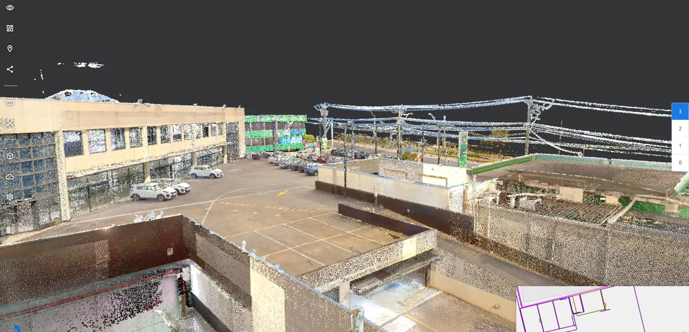
Data is processed with registration software and AI-assisted extraction, and can be hosted online in iVION so your team measures and annotates the site from a browser instead of chasing point cloud files around.
About Outright SurveyingDrone and Laser Scanning Services Across Victoria
Drone Surveying
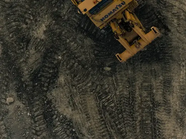
Drone survey covers ground that would take a field crew days, and reaches sites that are difficult or unsafe to walk.
We fly both LiDAR and high-resolution photogrammetry. LiDAR is the one that matters on vegetated ground, because laser pulses find the surface underneath the canopy where a camera only sees the top of it. Some road corridors can be captured without a closure, which takes the traffic control cost out of the job entirely.
Deliverables include point clouds, aerial imagery, digital terrain models, contour plans, feature surveys, stockpile calculations, corridor mapping and digital twin datasets. We work with Propeller and Civilio where your team already uses them.
Learn more about drone surveyingLaser Scanning
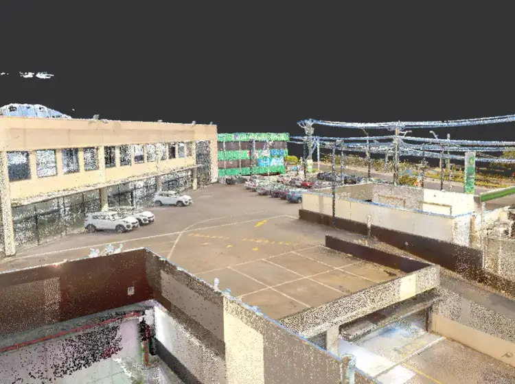
Terrestrial laser scanning is still the benchmark when accuracy is the priority. Tied into survey control, it gives millimetre-accurate data for architectural documentation, engineering design, construction verification and as-constructed surveys.
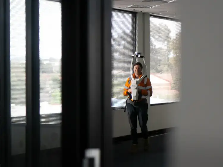
For large buildings, our NavVis mobile system changes the economics. A surveyor walks the building at a normal pace while it continuously captures high-density point cloud and 360 degree imagery, so a hospital or a university that would take days of static setups gets done in a fraction of the field time.
Learn more about laser scanningEarthworks Tracking
Earthworks arguments come down to volumes, and volumes come down to who measured what and when.
Regular drone flights track production against previous datasets or against the design surface, so progress claims have numbers behind them and shortfalls show up while there is still time to react. Because our team came from construction setout, we can also build the subgrade machine control files and track volumes off the same data.
You get cut and fill reports, stockpile volumes, heatmaps, quantity calculations and progress reports suitable for client reporting.
Learn more about earthworks trackingArchitectural Measurement
Measuring up an existing building with a tape is slow, disruptive and misses things, particularly on anything complex.
Scanning replaces that with millions of survey points captured in a single short visit, then processed in the office. For refurbishment and adaptive reuse, where the original drawings are incomplete or no longer match what was built, it removes the design assumptions that cause problems later.
We deliver floor plans, elevations, sections, reflected ceiling plans, point clouds, Revit models and CAD drawings, extracted from the cloud in whatever format your documentation needs.
Learn more about architectural measurementFacility Documentation
Hospitals, warehouses, manufacturing plants and commercial buildings all need accurate records, and most of them have drawings that stopped being accurate years ago.
Our scanners capture thousands of points a second, so site visits usually run to hours rather than days and operations keep running around us. Everything after that happens remotely from the office.
Deliverables include registered point clouds, floor plans, elevations, sections, asset layouts, BIM and Revit models, CAD documentation and full digital twin datasets, which we can host online for your team to access.
Learn more about facility documentationHeritage & Façade
Heritage buildings are full of irregular geometry and intricate detail that conventional measurement handles badly, and many of them cannot be touched.
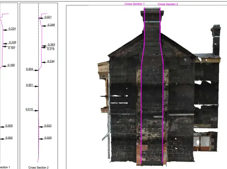
Scanning records thousands of colourised points across a façade without contact, capturing the ornate detail and producing a permanent digital record of the building's current condition. That record serves conservation planning and restoration, and doubles as dilapidation documentation before neighbouring works start.
We provide high-density point clouds, orthophotos, façade elevations, sections, CAD drawings, BIM models and digital archives suitable for heritage management.
Learn more about heritage and façade surveys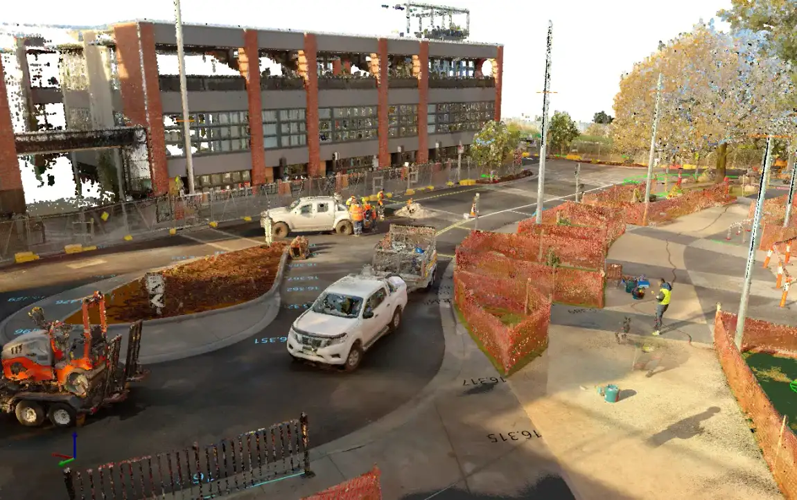
Drone & Scanning Questions
It comes down to the size of the site, the accuracy you need and what you want out the other end. A single stockpile flight is a small job. A full scan of an operating hospital with Revit models extracted is not. Tell us the site and the deliverable and we will quote it properly rather than charging you by the hour and hoping.
Tied into ground control, our drone data meets engineering survey standards for the work it is used on, and LiDAR reads ground levels through vegetation that photogrammetry cannot see. Where the tolerance is tighter than that, we use terrestrial laser scanning instead. We will tell you which method suits the job.
Rarely. NavVis mobile mapping means a surveyor walks the building at normal pace while it captures, so most facilities keep operating around us and a visit runs to hours rather than days. Some road corridors can be flown without a closure, which removes the traffic control cost entirely.
Registered point clouds, CAD drawings, Revit and BIM models, floor plans, elevations and sections, digital terrain models, contour plans, volume reports and digital twins. We match the format to what your design software actually takes, and we can host the data online so your team measures from a browser.
Yes. All flights are by experienced pilots under CASA accreditation and independently audited operating procedures. For work over populated areas we fly a parachute-equipped drone.
Yes. We work across regional Victoria including South West Victoria and Gippsland, and large or remote sites are exactly where drone capture earns its keep compared with putting a field crew on the ground for a week.
Trusted By Businesses Across Australia
- Luke Vearing Construction Manager at Speedpro Civil
Speedpro has had the pleasure of working alongside Outright Surveying for over 10 years, and we are always thoroughly impressed with their level of expertise, professionalism, accuracy, and reliability.
- Rowan Bird Project Survey Manager at Seymour Whyte
I’ve been working with Outright Surveying on several projects. The team consistently deliver with reliable and easy to deal with Surveyors, making the projects run smoothly.
- Nevil Sabu Alex Construction Manager at John Holland
Outright Surveying has been my trusty surveying partner for close to a decade. The service I have received from their surveyors and management team has been second to none.

Start Your Project With Confidence
Infrastructure surveys, building setouts, 3D scanning, aerial mapping and more. Our experienced team is ready to help. Tell us about your requirements and we'll respond as soon as possible.
- Phone 0400 751 199
- Address 4/20 Duerdin St, Clayton
Melbourne
- Phone 0413 147 976
- Location South West Regional Victoria