
Facility Documentation
Accurate digital records of existing buildings, infrastructure and industrial assets. One capture becomes the reliable base for maintenance, refurbishment and asset planning.
Book A Meeting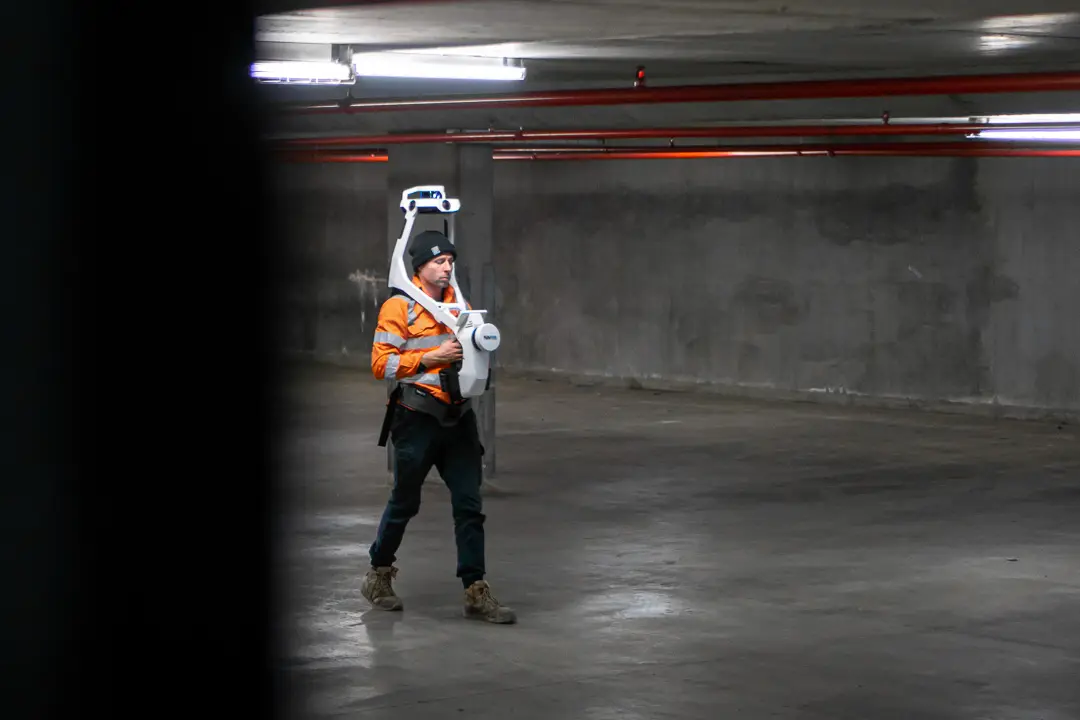
Your Drawings Stopped Being True Years Ago
Most operating facilities are documented by a set of drawings that has not matched the building since the second fit-out.
Undocumented Modifications
Years of works, upgrades and service changes that never made it back onto a drawing.
Planning From Guesswork
Maintenance, refurbishment and expansion decisions made against records nobody fully trusts.
Repeated Site Visits
Every design question sends another consultant into an operating facility to measure one thing.
Access Is the Constraint
In hospitals, plants and secure facilities, getting people in is often harder and more expensive than the work itself.
Least Disruption to Your Operation
We use the latest laser scanning technology specifically to keep our time in your building short.
Fast Onsite Capture
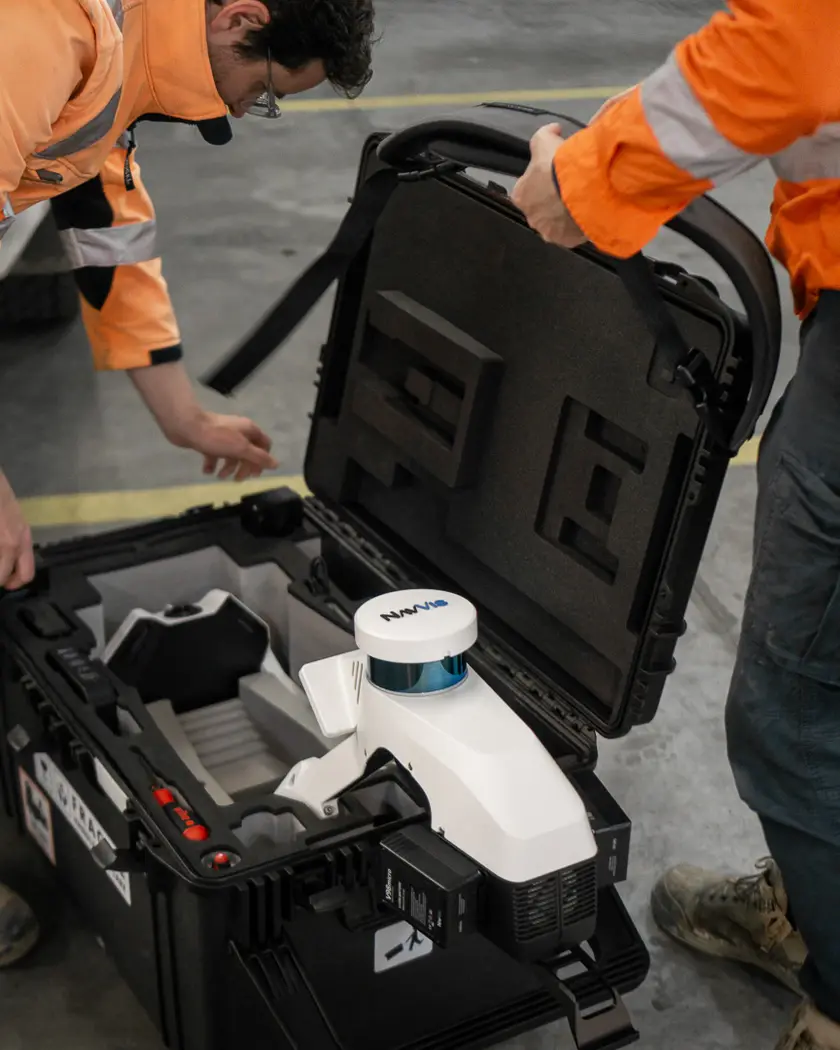
Our laser scanners capture thousands of points in seconds, so site visits often take a few hours rather than days.
Mobile Mapping for Scale
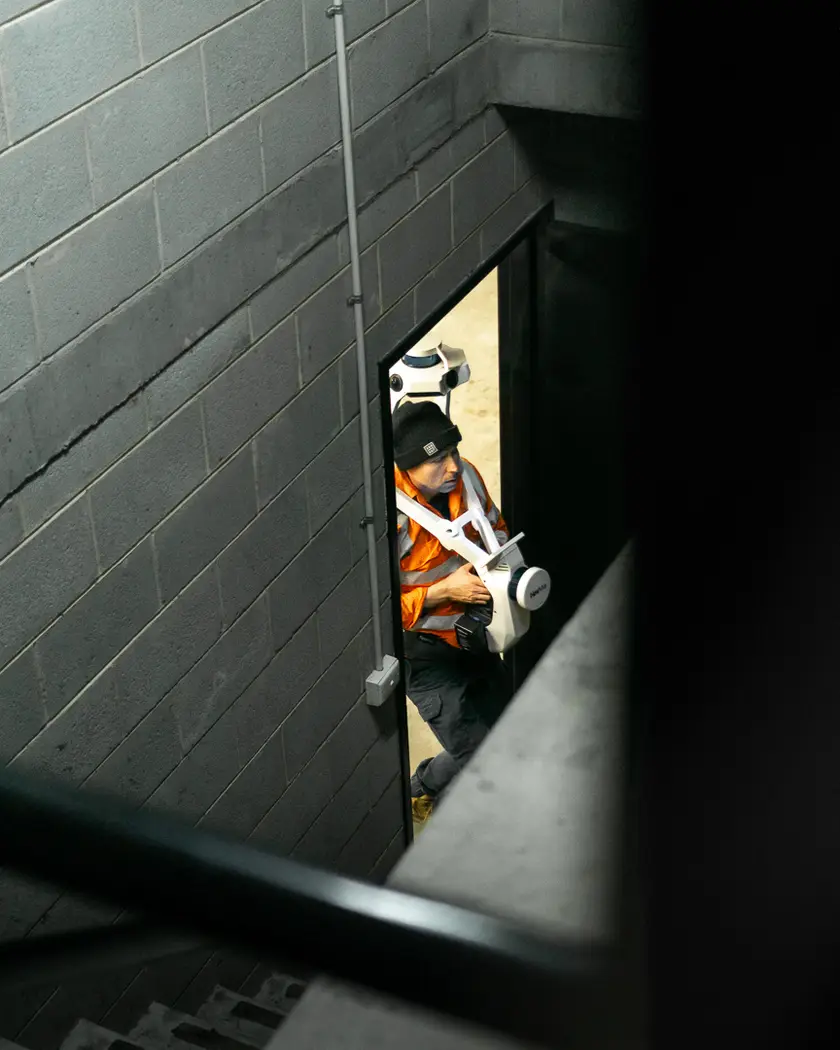
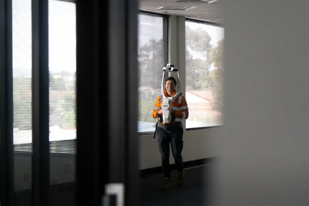
For large facilities, NavVis mobile mapping records continuously while a surveyor walks the building at normal pace.
Remote Processing
All data is handled remotely from the office, using advanced processing software and AI-assisted extraction workflows.
Outputs to Suit
Point cloud data is converted efficiently into the drawings and digital models your team actually uses.
Deliverables
From a registered point cloud through to a full digital twin, depending on what the facility needs.
Drawings and Layouts
Floor plans, elevations, sections, asset layouts and CAD documentation extracted from the capture.
Models
BIM models and Revit models built from the scan, reflecting the facility as it currently exists.
Digital Twin Datasets
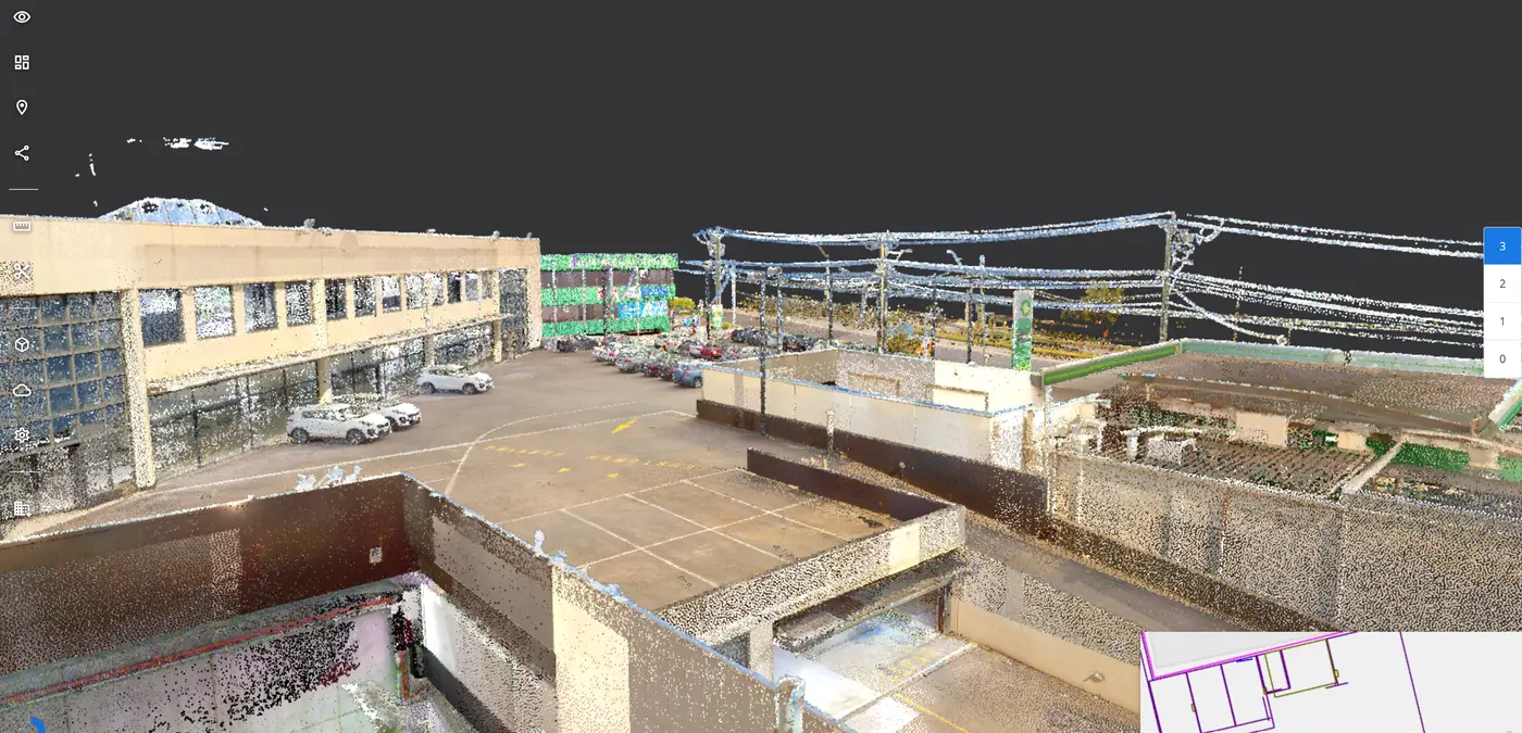
Registered point clouds and complete digital twin datasets, which we can host online for your team to access.
Facility Documentation Across Victoria
What We Document
We create accurate digital records of existing buildings, infrastructure and industrial assets. Hospitals, warehouses, manufacturing facilities and commercial buildings.
Reality capture provides a comprehensive dataset for maintenance, refurbishment and future planning, rather than a set of drawings that answers only the questions someone thought to ask at the time.
Capturing Without Shutting Down
We use the latest laser scanning technology specifically to minimise disruption to your business. Our scanners capture thousands of points in seconds, so a site visit often takes a few hours rather than days.
Everything after that happens remotely. We handle all the data from the office, creating your desired outputs without further presence in your facility.
Learn more about laser scanningWhy Accurate Documentation Pays Off
Accurate documentation provides a reliable foundation for future design work, asset management and operational planning.
It reduces the need for repeated site visits, which in a hospital or a secure facility is often the single largest hidden cost of any project. It also gives project teams confidence that decisions are being made on current, accurate information rather than a drawing set of uncertain vintage.
From Point Cloud to Model
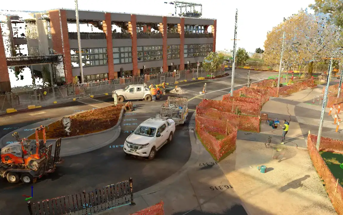
Advanced processing software and AI-assisted extraction workflows convert point cloud data into usable drawings and digital models efficiently.
We provide registered point clouds, floor plans, elevations, sections, asset layouts, BIM models, Revit models, CAD documentation and complete digital twin datasets, matched to how your asset team works.
Hosting the Data Online
We can host detailed 3D data on online platforms, so instead of navigating large point cloud files in specialist software, your team explores the facility through a web interface, takes measurements, annotates locations and reviews imagery.
For asset managers and facility owners that means remote inspection, fewer unnecessary site visits and a single source of truth for planning, maintenance and future development.
Facility Documentation Questions
It depends on floor area, how complex the facility is and what you want out. A warehouse is quick. A hospital with plant rooms and services documented to BIM is a much larger piece of work. The capture is usually the smaller cost and the extraction the larger one, so we quote both so you can decide how far to take it.
Rarely. Our scanners capture thousands of points in seconds and site visits often take a few hours rather than days. For large buildings, NavVis mobile mapping means a surveyor simply walks through while it captures, so most facilities keep operating around us.
Registered point clouds, floor plans, elevations, sections, asset layouts, BIM models, Revit models, CAD documentation and complete digital twin datasets. We match the outputs to how your asset or design team works.
Yes. We can host detailed 3D data online so your team explores the facility in a web browser, takes measurements, annotates locations and reviews imagery without needing point cloud software installed.
After any significant works. The value of the record is that it is current, and a digital twin that predates a major fit-out has the same problem as the old drawings. Re-capturing a previously scanned facility is faster and cheaper than the first time.
Yes. We work across metro Melbourne, South West Victoria and Gippsland. Regional facilities benefit most, because a single comprehensive capture removes repeat trips.
Trusted By Businesses Across Australia
- Luke Vearing Construction Manager at Speedpro Civil
Speedpro has had the pleasure of working alongside Outright Surveying for over 10 years, and we are always thoroughly impressed with their level of expertise, professionalism, accuracy, and reliability.
- Rowan Bird Project Survey Manager at Seymour Whyte
I’ve been working with Outright Surveying on several projects. The team consistently deliver with reliable and easy to deal with Surveyors, making the projects run smoothly.
- Nevil Sabu Alex Construction Manager at John Holland
Outright Surveying has been my trusty surveying partner for close to a decade. The service I have received from their surveyors and management team has been second to none.

Start Your Project With Confidence
Infrastructure surveys, building setouts, 3D scanning, aerial mapping and more. Our experienced team is ready to help. Tell us about your requirements and we'll respond as soon as possible.
- Phone 0400 751 199
- Address 4/20 Duerdin St, Clayton
Melbourne
- Phone 0413 147 976
- Location South West Regional Victoria