Land Surveyors Victoria
Accurate land surveying for property owners, builders, developers and small civil sites across Victoria. From title re-establishment and subdivisions to feature & level surveys, our licensed surveyors deliver the plans, certificates and on-ground marks your project needs to move forward with confidence.
Book A Meeting
Licensed Local Experience
Over 15 years of land surveying across metro Melbourne and regional Victoria — from infill blocks to rural lots.

Council-Ready Plans
Plans and documentation prepared to meet council and authority requirements first time, with no costly resubmissions.

Fast Turnarounds
We understand settlement dates and build programs. Our team works quickly without compromising accuracy or compliance.
The Foundation Every Property Project Needs
Whether you're building, subdividing, selling or settling a boundary question, accurate land survey data is what keeps the rest of the project moving. Without it, councils stall, designers guess, and disputes drag on.
Our team works with property owners, builders, small developers and civil contractors on residential infill, lifestyle blocks, two-lot subdivisions, lot consolidations and small civil and landscaping sites. We sit between the title, the design and the ground, making sure all three line up.
From boundary re-establishment off historic title plans to feature & level surveys ready for an architect, we deliver the documentation councils, conveyancers and consultants expect — formatted, certified and on time.
"Outright Surveying has been my trusty surveying partner for close to a decade. The service I have received from their surveyors and management team has been second to none." Neville Sabu Alex Construction Manager - John Holland
Land Surveying Services
Title Re-Establishment
Confirm exactly where your boundaries sit before building, fencing or settling a dispute. We recover historic marks and re-peg titles to current standards.
Subdivision Surveys
Two-lot, multi-lot and lot-consolidation plans prepared to council and Land Use Victoria requirements. Practical advice from feasibility through to titles.
Feature & Level Surveys
Detailed topographic surveys capturing levels, features and services so architects, engineers and builders can design from accurate information.
Trusted By Businesses Across Australia
- Luke Vearing Construction Manager at Speedpro Civil
Speedpro has had the pleasure of working alongside Outright Surveying for over 10 years, and we are always thoroughly impressed with their level of expertise, professionalism, accuracy, and reliability.
- Rowan Bird Project Survey Manager at Seymour Whyte
I’ve been working with Outright Surveying on several projects. The team consistently deliver with reliable and easy to deal with Surveyors, making the projects run smoothly.
- Nevil Sabu Alex Construction Manager at John Holland
Outright Surveying has been my trusty surveying partner for close to a decade. The service I have received from their surveyors and management team has been second to none.

15 Years of Land Surveying Across Victoria
Outright Surveying has supported land surveying projects across Victoria since 2009, working with property owners, builders, developers and councils on residential, rural and small civil sites.
We work with:
- Property owners and home builders
- Small to medium developers
- Architects, designers and consultants
- Civil contractors and landscapers
- Conveyancers and legal practitioners
Our director remains personally involved in every project, ensuring you get the technical accuracy and responsive service that complex property matters demand.
About Outright SurveyingLand Surveying Services We Provide in Victoria
Title Re-Establishment Surveys
Title re-establishment confirms the legal position of your property boundaries by reconstructing them from the original Crown grant and subsequent title plans.
It suits property owners building close to boundaries, fencing disputes, pre-sale checks and any work where the exact line of the title matters.
Common challenges include missing original marks, conflicting historic surveys and occupations that have crept across the true boundary over decades.
Our surveyors locate available reference marks, analyse the title plan history, and re-peg boundaries with permanent markers and a certified plan you can rely on.
Subdivision Surveys
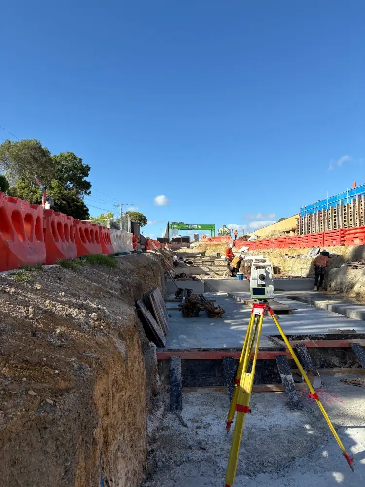
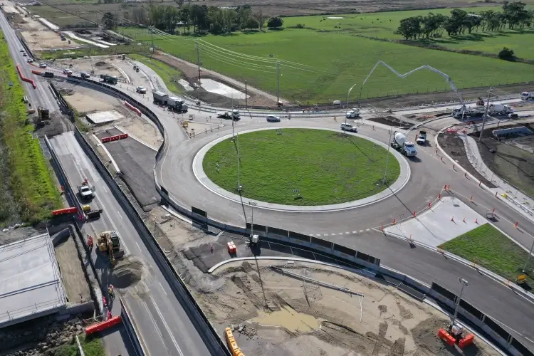
Subdivision surveys produce the Plan of Subdivision required to create new titles — whether splitting an existing lot in two, consolidating multiple titles or planning a larger development.
They suit infill development, dual-occupancy builds, lifestyle-block subdivisions and small civil estates.
Common challenges include council planning conditions, easement requirements, service connections and coordinating with conveyancers through to settlement.
We guide projects from feasibility — confirming what's possible under the planning scheme — through to lodgement at Land Use Victoria and final title issue.
Feature & Level Surveys
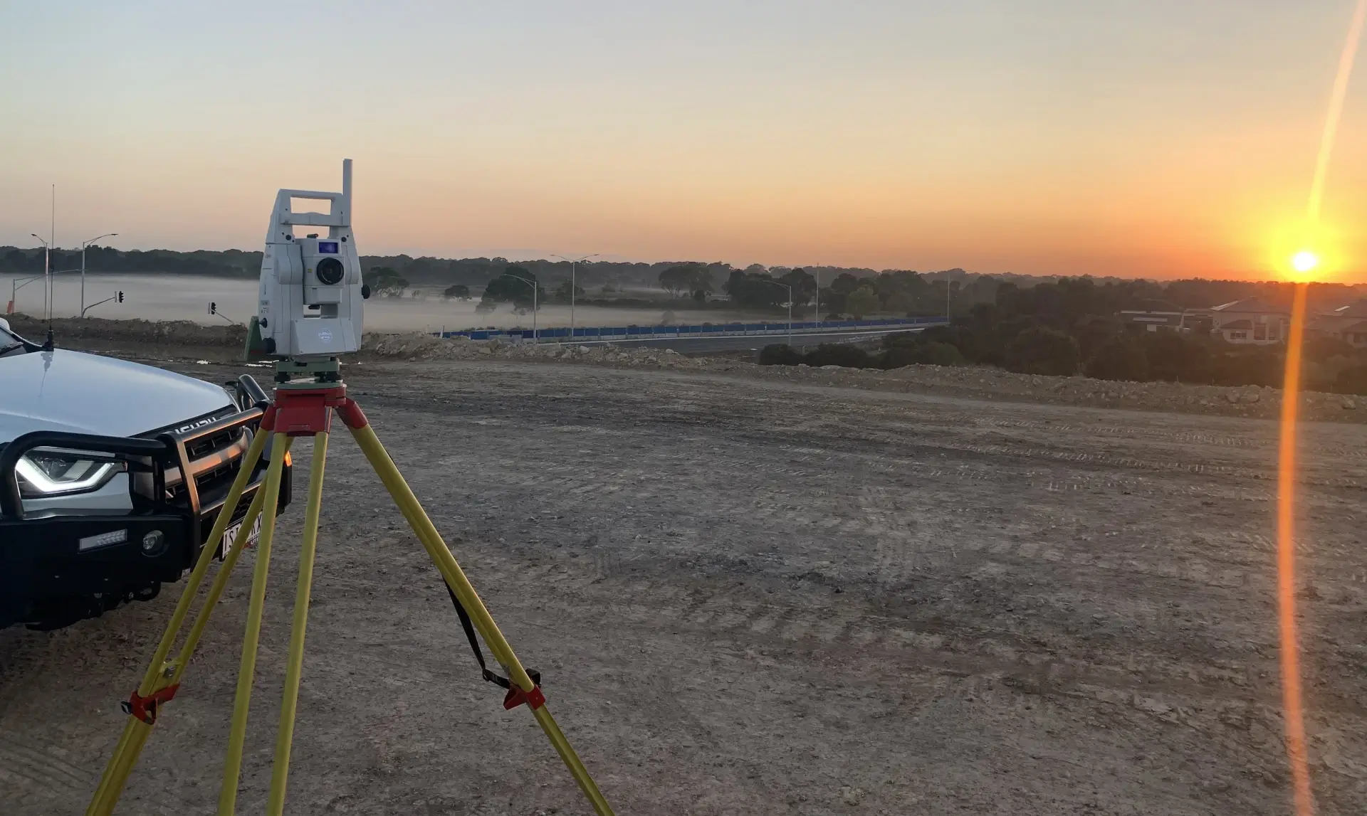
Feature & level surveys capture the existing site — levels, structures, trees, services and key features — so designers and engineers can work from accurate information.
They suit any project where design has to fit the site: house builds, extensions, landscaping, drainage design and small civil works.
Common challenges include heavily vegetated sites, locating buried services and producing data in formats compatible with the consultant team's design software.
We deliver feature & level surveys as CAD drawings, 3D surface models or PDF plans, depending on what your design team needs.
Learn more about Feature & Level Surveys in Victoria →Identification & Boundary Surveys
Identification surveys document the relationship between buildings, fences, easements and the legal boundaries — typically required by conveyancers or banks at sale or refinance.
They suit property transactions where the lender or buyer needs certainty that existing structures comply with the title.
Common challenges include encroachments, easements affecting build sites and improvements straddling boundary lines.
We produce identification survey plans that satisfy lender and conveyancer requirements and flag any encroachments before they become a problem at settlement.

Start Your Project With Confidence
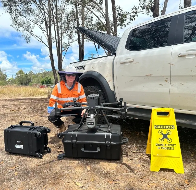
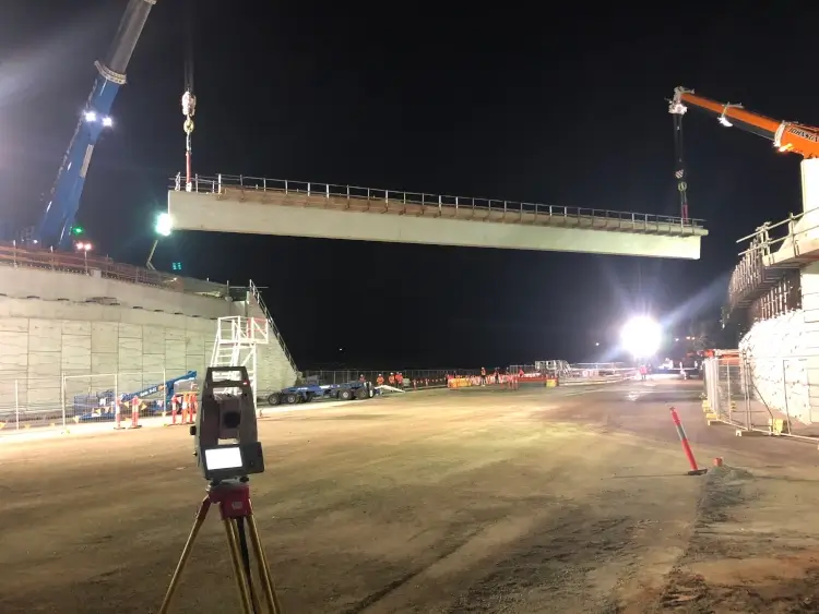
Infrastructure surveys, building setouts, 3D scanning, aerial mapping and more. Our experienced team is ready to help. Tell us about your requirements and we'll respond as soon as possible.
- Phone 0400 751 199
- Address 4/20 Duerdin Street, Clayton
Melbourne
- Phone 0413 147 976
- Location South West Regional Victoria