
Utility Surveys
Above and below ground services located accurately, by surveyors who have worked alongside utility contractors. Pothole plans that put holes where they will actually tell you something.
Book A Meeting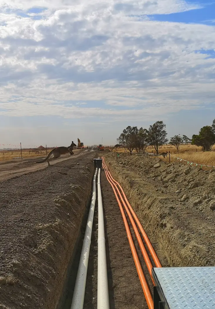
What You Do Not Know Is Under There
Utility information drives excavation safety, design feasibility and programme. Poor information affects all three.
Records That Do Not Match
Historical service records are frequently incomplete or wrong. Designing against them without validation is how strikes happen.
Potholing in the Wrong Places
A pothole plan drawn without understanding how services are actually installed produces excavation that confirms nothing useful.
Clearance Problems in Trenchless Work
Directional drilling near existing infrastructure needs verified alignments and profiles, not assumptions from a plan.
Data Scattered Across Sources
Records in one place, potholes in another, as-constructed somewhere else, and nobody certain which version is current.
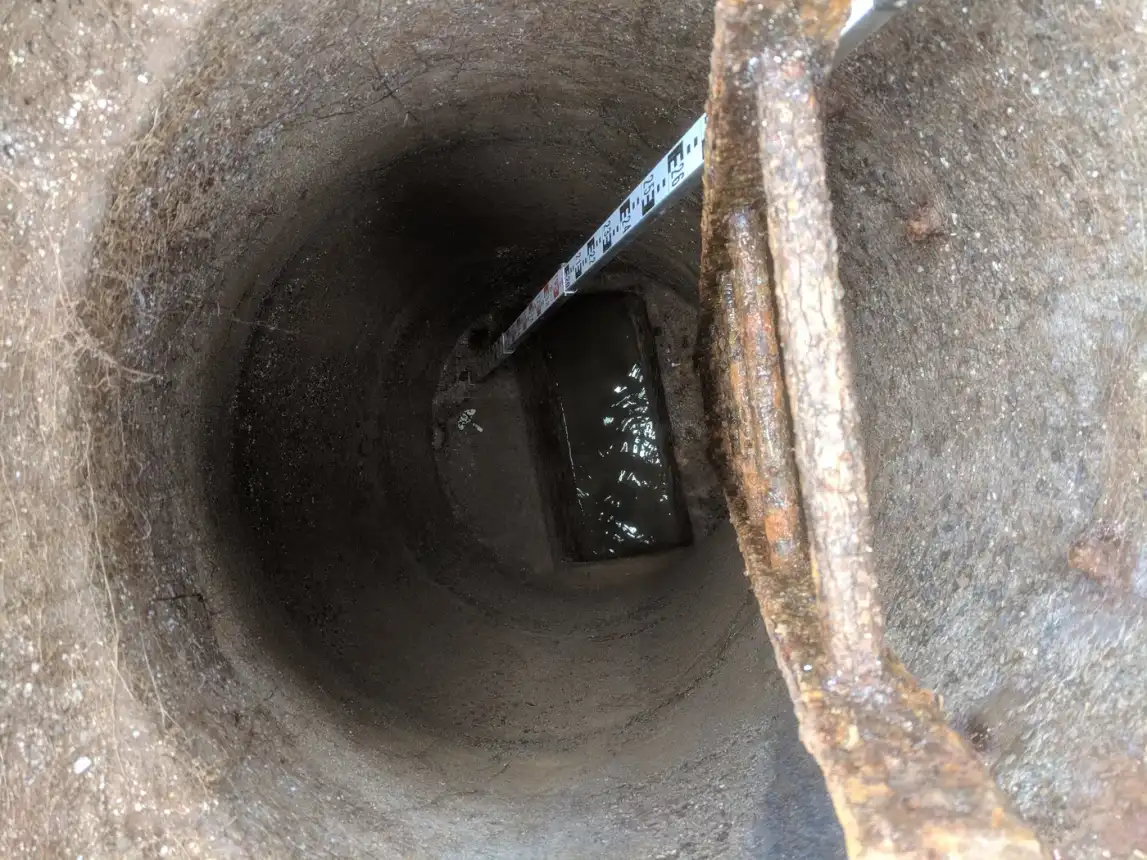
What We Cover
From investigation planning through to the service control plan and the live data register.
Pothole Investigation Planning
We develop pothole plans tailored to the project, recommending optimal locations and spacing to validate existing service information while minimising unnecessary excavation.
Survey of Exposed Services
We coordinate and implement investigations on site, accurately surveying exposed services to produce reliable utility records for designers and contractors.
Trenchless and Directional Drilling
Bore alignment surveys, long section preparation, profile development, clash assessments and construction support to maintain clearances from existing infrastructure.
Temporary Works Support
Excavation and shoring setout and temporary excavation designs, combining survey expertise with practical construction knowledge to help plan safer excavations.
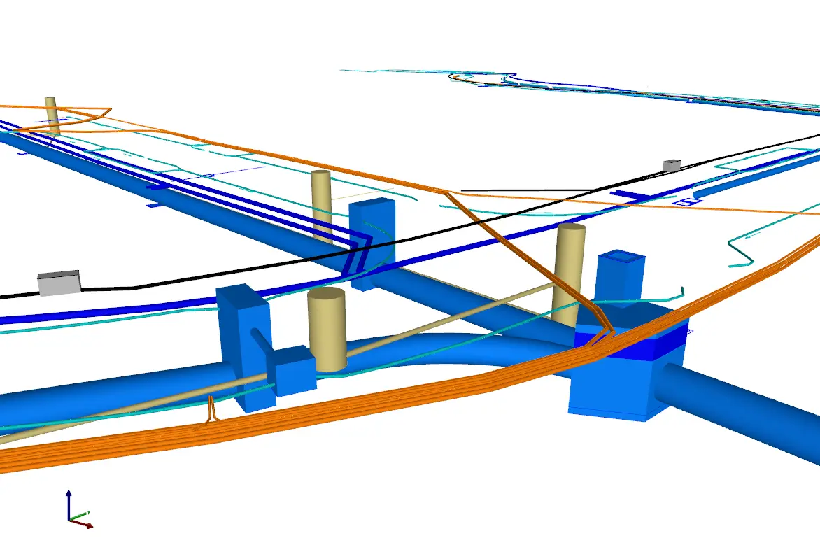
Deliverables and Data Management
Traditional outputs plus the live data platforms your project may already be using.
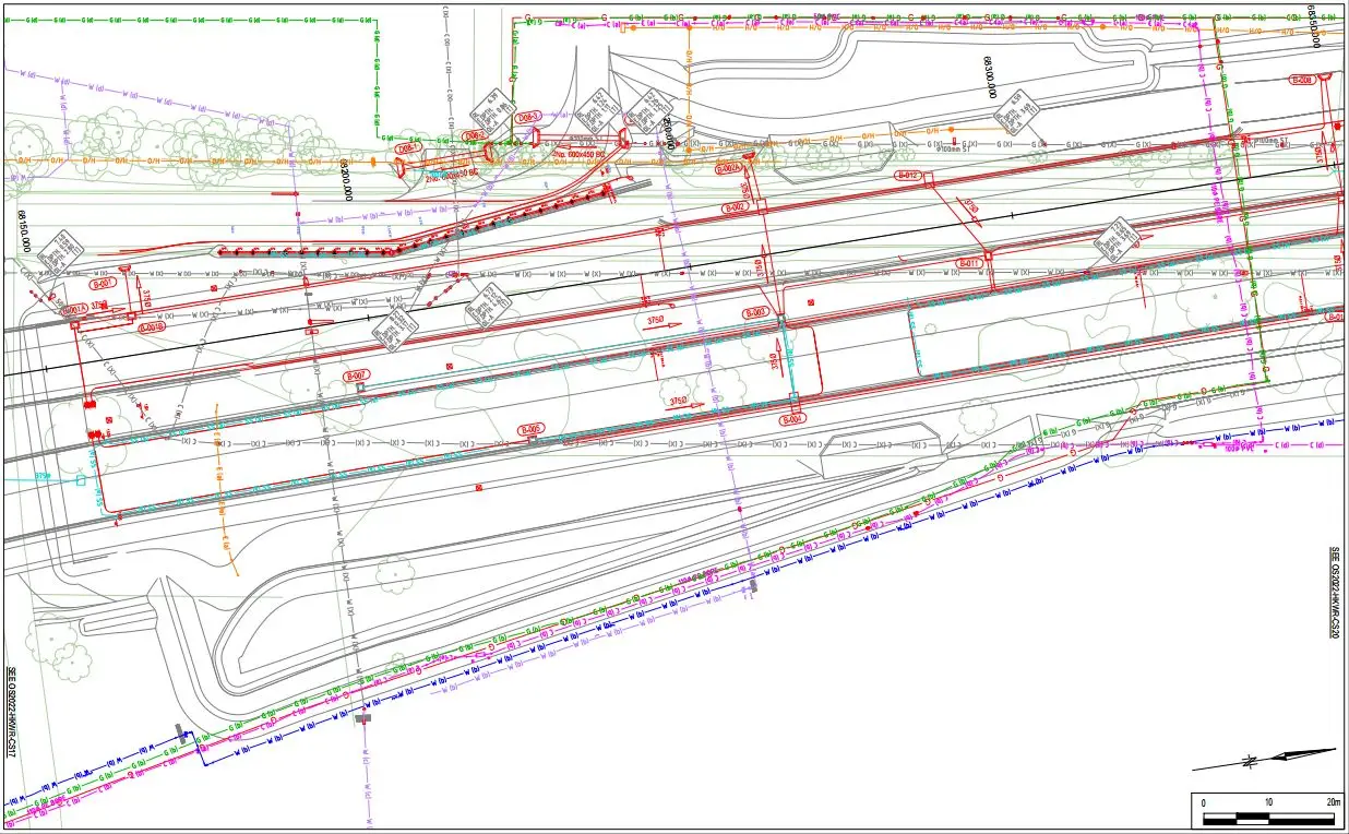
Service Control Plans
Traditional Service Control Plans produced from surveyed information rather than transcribed records.
Consolidated Utility Datasets
Utility records, before-you-dig plans, pothole investigations and as-constructed information combined into a single coordinated dataset.
GIS and Digital Pothole Cards
Data managed in GIS and utility platforms including Civilio, with photos and extensive metadata recorded for digital pothole cards, plus live service registers updated as investigations progress.
Related Projects
- $700 million
Wooreen BESS - Survey Support Across 350 MW of Battery Storage
Survey control, machine control and high-precision electrical setout across one of Australia's largest utility-scale battery storage developments in the Latrobe Valley.
Terang BESS - Coordinated Setout Across a Congested Battery Storage Site
Construction surveying and spatial support for the Terang Battery Energy Storage System, covering civil, structural and detailed electrical setout within a condensed site footprint.
Utility Surveys Across Victoria
Working Safely Around Live Services
Our surveyors have extensive experience working to Australian Standards quality levels, utility authority requirements and contractor-specific safety procedures.
We integrate into project-specific permit systems, SWMS and client safety frameworks, and work regularly alongside Ground Penetration Permit coordinators and engineers so excavations proceed safely.
Why Construction Experience Changes the Result
The difference between a useful utility survey and an expensive one is knowing how services actually go into the ground.
Having worked alongside utility contractors delivering water, sewer, drainage, gas, electrical and telecommunications infrastructure, we can interpret records, identify likely service alignments and design more effective potholing programmes. That means fewer holes, better information, and a design team that can rely on what they are given.
Pothole Investigation Planning
We develop pothole investigation plans tailored to individual projects, recommending optimal pothole locations and spacing to validate existing service information while minimising unnecessary excavation.
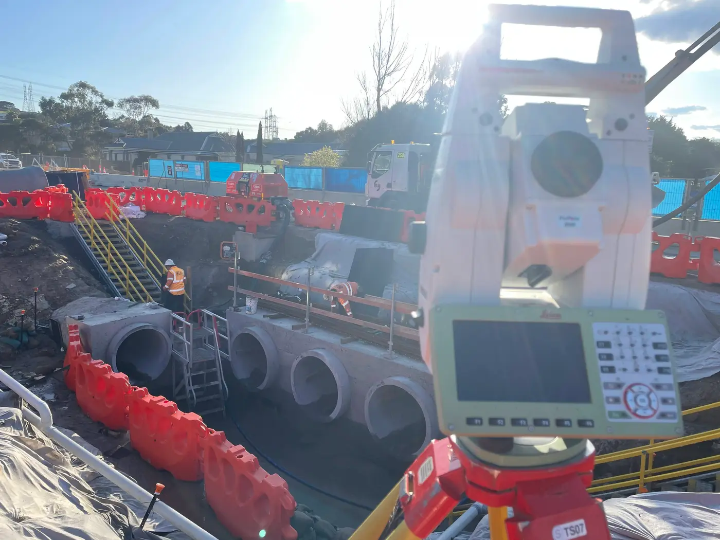
Then we coordinate and implement the investigations on site and accurately survey the exposed services, producing reliable utility records for the designers and contractors who follow.
Directional Drilling and Trenchless Construction
Trenchless work near existing infrastructure lives or dies on clearance. We provide bore alignment surveys, long section preparation, profile development, clash assessments and construction support so contractors and designers achieve successful installations while maintaining required clearances.
Keeping the Data Straight
Utility information arrives from several sources and goes stale quickly. We consolidate the utility records, before-you-dig plans, pothole investigations and as-constructed information into a single coordinated dataset, which removes the confusion about which version is current.
We manage utility data in GIS and utility management platforms including Civilio and project-specific spatial databases, recording photos and metadata for digital pothole cards, maintaining live service registers and producing traditional Service Control Plans.
Learn more about survey and data management
Utility Survey Questions
It depends on the corridor length, the density of services and how many potholes the investigation requires. The pothole programme is usually the largest variable, which is exactly why the plan is worth getting right. A well-designed programme with fewer, better-placed holes often costs less and tells you more. Send us the project and we will scope it.
We develop the pothole investigation plan, coordinate and implement the investigations on site, and survey the exposed services accurately. We work alongside your excavation contractor and within your permit and safety framework.
We work to the Australian Standards quality levels, along with utility authority requirements and contractor-specific safety procedures. We confirm the required quality level with you at the start, because it drives both the method and the cost.
Yes. We provide bore alignment surveys, long section preparation, profile development, clash assessments and construction support, so installations maintain the required clearances from existing infrastructure.
Yes. We consolidate records, before-you-dig plans, pothole investigations and as-constructed information into one dataset, and manage it in GIS and utility platforms including Civilio, with live service registers and digital pothole cards carrying photos and metadata.
Yes. We work across metro Melbourne, South West Victoria and Gippsland, and regional infrastructure and renewable energy projects make up a large share of our utility work.
Trusted By Businesses Across Australia
- Luke Vearing Construction Manager at Speedpro Civil
Speedpro has had the pleasure of working alongside Outright Surveying for over 10 years, and we are always thoroughly impressed with their level of expertise, professionalism, accuracy, and reliability.
- Rowan Bird Project Survey Manager at Seymour Whyte
I’ve been working with Outright Surveying on several projects. The team consistently deliver with reliable and easy to deal with Surveyors, making the projects run smoothly.
- Nevil Sabu Alex Construction Manager at John Holland
Outright Surveying has been my trusty surveying partner for close to a decade. The service I have received from their surveyors and management team has been second to none.

Start Your Project With Confidence
Infrastructure surveys, building setouts, 3D scanning, aerial mapping and more. Our experienced team is ready to help. Tell us about your requirements and we'll respond as soon as possible.
- Phone 0400 751 199
- Address 4/20 Duerdin St, Clayton
Melbourne
- Phone 0413 147 976
- Location South West Regional Victoria