
Heritage & Façade Surveys
Highly detailed digital records of historically significant buildings, captured without touching the structure. Thousands of colourised points recording ornate detail and irregular geometry.
Book A Meeting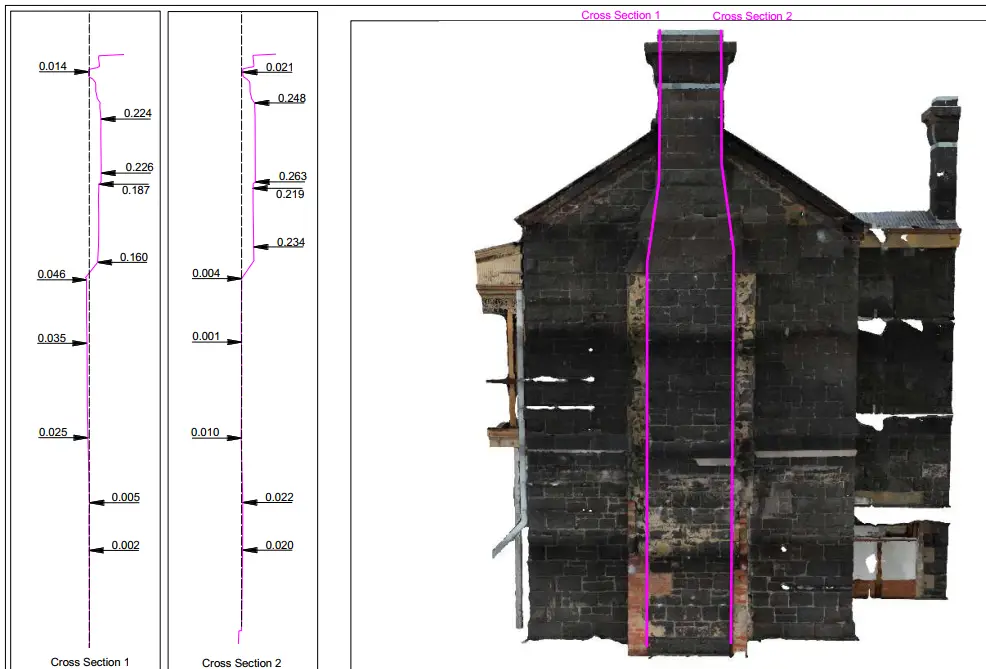
You Cannot Tape Measure a Cornice
Heritage buildings present measurement problems that conventional methods were never designed to solve.
Irregular Geometry
Nothing is square, nothing is plumb, and nothing repeats. Conventional measurement assumes all three.
Intricate Detail
Ornate facades, mouldings and carved detail cannot be usefully recorded by dimensions on a drawing.
Access Restrictions
Fragile fabric, height and heritage protections all limit how close anyone can get to the building.
No Condition Record
Without a baseline, later deterioration or damage from adjacent works is very difficult to demonstrate.
Recording Without Touching
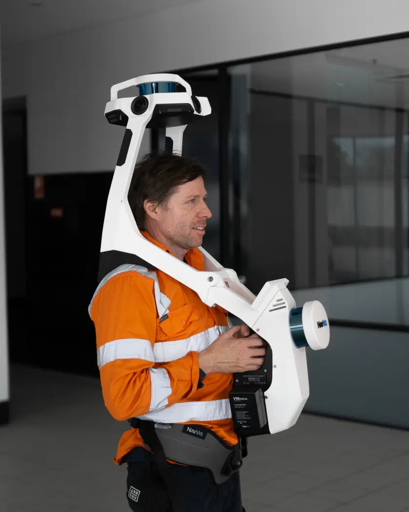
We use the latest scanning equipment to capture thousands of colourised points across the target, fully recreating a digital twin.
Scope the Record
We confirm whether the survey is for conservation planning, restoration documentation, dilapidation or archival, because it changes the capture.
Colourised Capture
Thousands of colourised points are recorded across the façade, picking up complex detail without contact with the building.
Registration and Processing
Scans are registered into a single accurate dataset and processed into the outputs the project requires.
Archive and Share
Data can be hosted online for viewing and sharing between architects, conservation specialists and engineers.
Deliverables
Documentation suited to conservation work and to heritage management records.
Point Clouds and Orthophotos
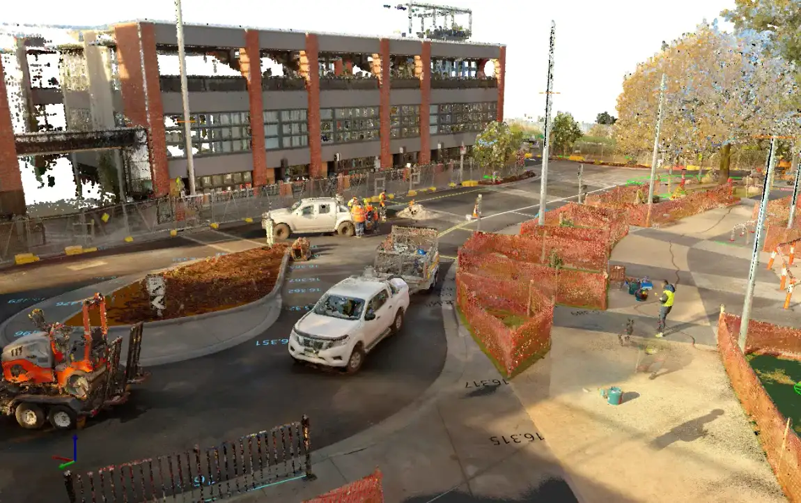
High-density colourised point clouds and orthophotos recording the façade as it currently stands.
Elevations and Drawings
Façade elevations, sections and CAD drawings extracted from the capture.
Models and Archives
BIM models, conservation documentation and digital archives suitable for heritage management, hostable online.
Heritage and Façade Surveys Across Victoria
Capturing Without Touching the Building
We capture highly detailed digital records of historically significant buildings and structures, preserving the existing condition without any need to physically touch the building.
Using the latest scanning equipment we record thousands of colourised points across the target, picking up complex facades and ornate details and fully recreating the building as a digital twin.
Why Conventional Measurement Fails Here
Many heritage buildings contain irregular geometry and intricate details that are difficult to measure using conventional methods. Nothing is square, and the detail that matters most is usually the hardest to record.
Reality capture creates a permanent digital record supporting conservation planning, restoration works and historical preservation, while reducing the need for repeated site access to a protected building.
Dilapidation and Condition Records
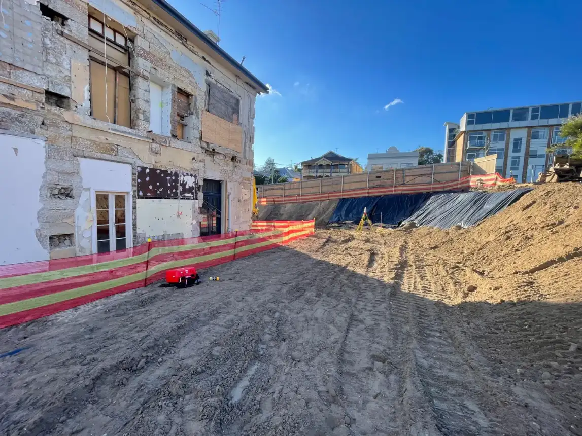
The same capture doubles as documentation of the initial condition of the site for dilapidation purposes.
If works are planned nearby, a scan taken beforehand is the clearest possible baseline. Demonstrating what changed, and what did not, becomes a matter of comparison rather than argument.
Who Uses the Data
Architects, conservation specialists and engineers all work from it, which is why the deliverables need to suit several disciplines at once.
We provide high-density point clouds, orthophotos, façade elevations, sections, CAD drawings, BIM models, conservation documentation and digital archives suitable for heritage management. We can also host the data online for viewing and sharing between the project team.
Learn more about laser scanningHeritage Buildings in Active Use
Many heritage buildings are also operating facilities, and documenting them for conservation and for asset management is the same capture with different outputs.
Learn more about facility documentation
Heritage & Façade Survey Questions
It depends on the size of the building, how much of it needs capturing and what you want extracted. Recording a single ornate street façade is a modest job. A full building inside and out with conservation documentation is larger. The capture is usually the smaller portion of the cost and the drawing extraction the larger one, so we price both separately.
No. The survey preserves the existing condition without any need to physically touch the building, which is precisely why it suits fragile and protected fabric.
Yes, and that is the main reason to use scanning here. We record thousands of colourised points across the target, picking up complex facades and ornate details that conventional measurement cannot usefully describe.
Yes. The capture documents the initial condition of the site, which makes it a strong baseline if works are planned nearby. Comparing a later scan against it shows exactly what changed.
High-density point clouds, orthophotos, façade elevations, sections, CAD drawings, BIM models, conservation documentation and digital archives suitable for heritage management. We can also host the data online for the project team to view and share.
Yes. We work across regional Victoria including South West Victoria and Gippsland, and much of Victoria's heritage building stock sits outside the metro area.
Trusted By Businesses Across Australia
- Luke Vearing Construction Manager at Speedpro Civil
Speedpro has had the pleasure of working alongside Outright Surveying for over 10 years, and we are always thoroughly impressed with their level of expertise, professionalism, accuracy, and reliability.
- Rowan Bird Project Survey Manager at Seymour Whyte
I’ve been working with Outright Surveying on several projects. The team consistently deliver with reliable and easy to deal with Surveyors, making the projects run smoothly.
- Nevil Sabu Alex Construction Manager at John Holland
Outright Surveying has been my trusty surveying partner for close to a decade. The service I have received from their surveyors and management team has been second to none.

Start Your Project With Confidence
Infrastructure surveys, building setouts, 3D scanning, aerial mapping and more. Our experienced team is ready to help. Tell us about your requirements and we'll respond as soon as possible.
- Phone 0400 751 199
- Address 4/20 Duerdin St, Clayton
Melbourne
- Phone 0413 147 976
- Location South West Regional Victoria