
Earthworks Tracking
Regular drone flights that measure what has actually moved. Cut and fill against previous data or against the design surface, with reports that stand behind a payment claim.
Book A Meeting
Volume Arguments Are Won With Data
Earthworks disputes almost always come down to who measured what, when, and whether anyone can prove it.
Payment Claims Without Evidence
A claim backed by an estimate invites a negotiation. A claim backed by a measured surface does not.
Production Drifting Unnoticed
Without regular measurement, a shortfall against programme shows up weeks after the point where it could have been corrected.
Stockpiles Nobody Has Counted
Material moved to stockpile and then reused is easy to double count or lose entirely from the reconciliation.
Ground Survey Is Too Slow
Putting a crew on a large earthworks site frequently enough to track production is expensive and interrupts the machines.
A Tracking Regime That Fits the Project
We build the flight and reporting schedule around your claim cycle and your programme, not a fixed package.
Establish the Baseline
We capture the existing ground before work starts, because every volume after that is measured against it.
Scheduled Capture
Regular flights at the interval the project needs, whether that is monthly for claims or weekly during peak production.
Compare and Calculate
Each capture is compared against the previous dataset or the design surface, producing measured cut, fill and stockpile volumes.
Report in a Usable Form
Results delivered as reports and graphics your project team and your client can read without specialist software.
Reports and Deliverables
Everything formatted for project management and client reporting rather than for a surveyor.
Cut and Fill Reports
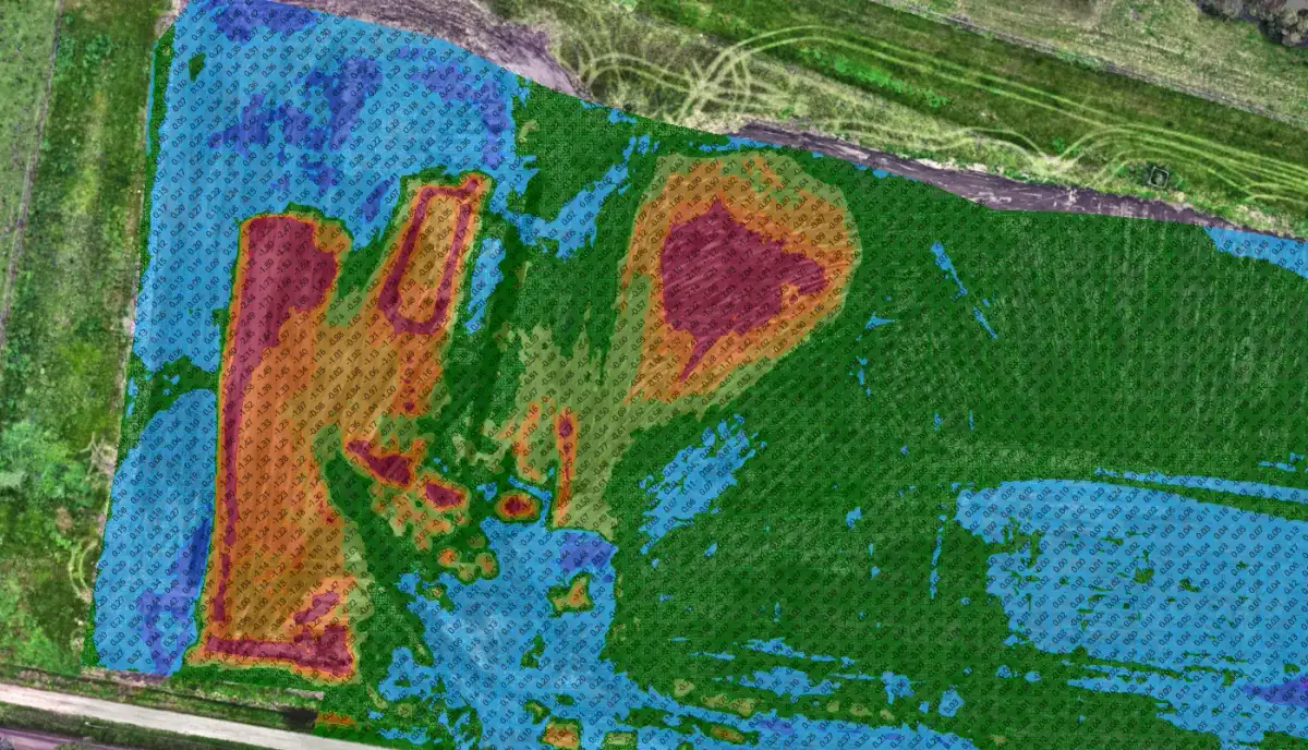
Measured cut and fill volumes with heatmaps showing where material has moved and where it has not.
Stockpile Volumes
Stockpile quantities calculated from the capture, so material in temporary storage stays in the reconciliation.
Progress Reporting
Quantity calculations and graphical progress reports suitable for project management and client reporting.
Earthworks Tracking Across Victoria
Why Track Earthworks At All
Regular earthworks monitoring improves project visibility, assists contractor payment claims, supports cost control and enables informed construction decisions.
The value is early warning. Identifying a discrepancy between planned and actual production in the first month gives you options. Identifying it at practical completion gives you a dispute.
Tracking Against Design or Against Progress
We can track productivity against previous datasets, which tells you how much moved in the period, or against the design surface, which tells you how much is left to move.
Most projects want both. The first drives the claim, the second drives the programme.
Drone Capture on a Live Earthworks Site
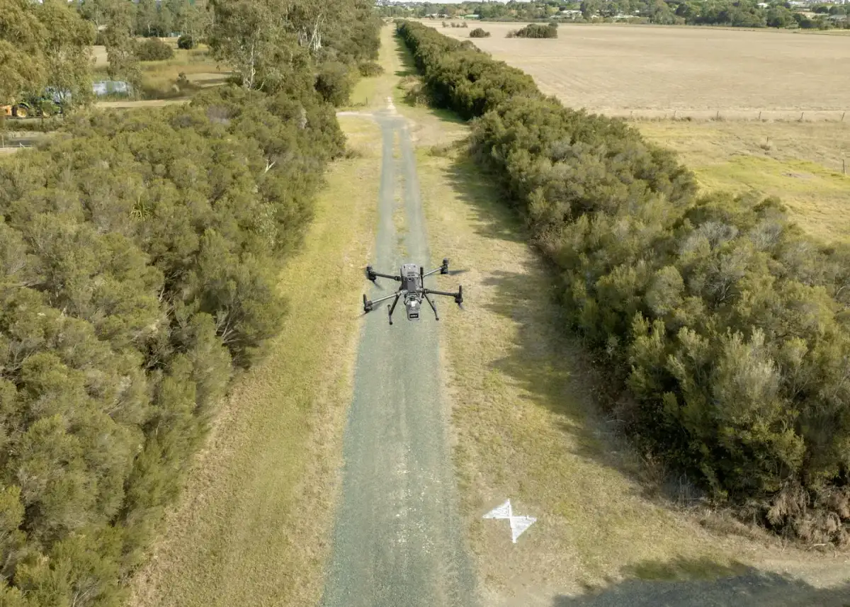
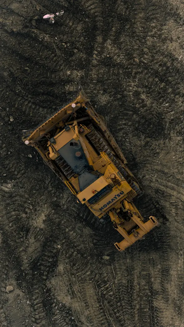
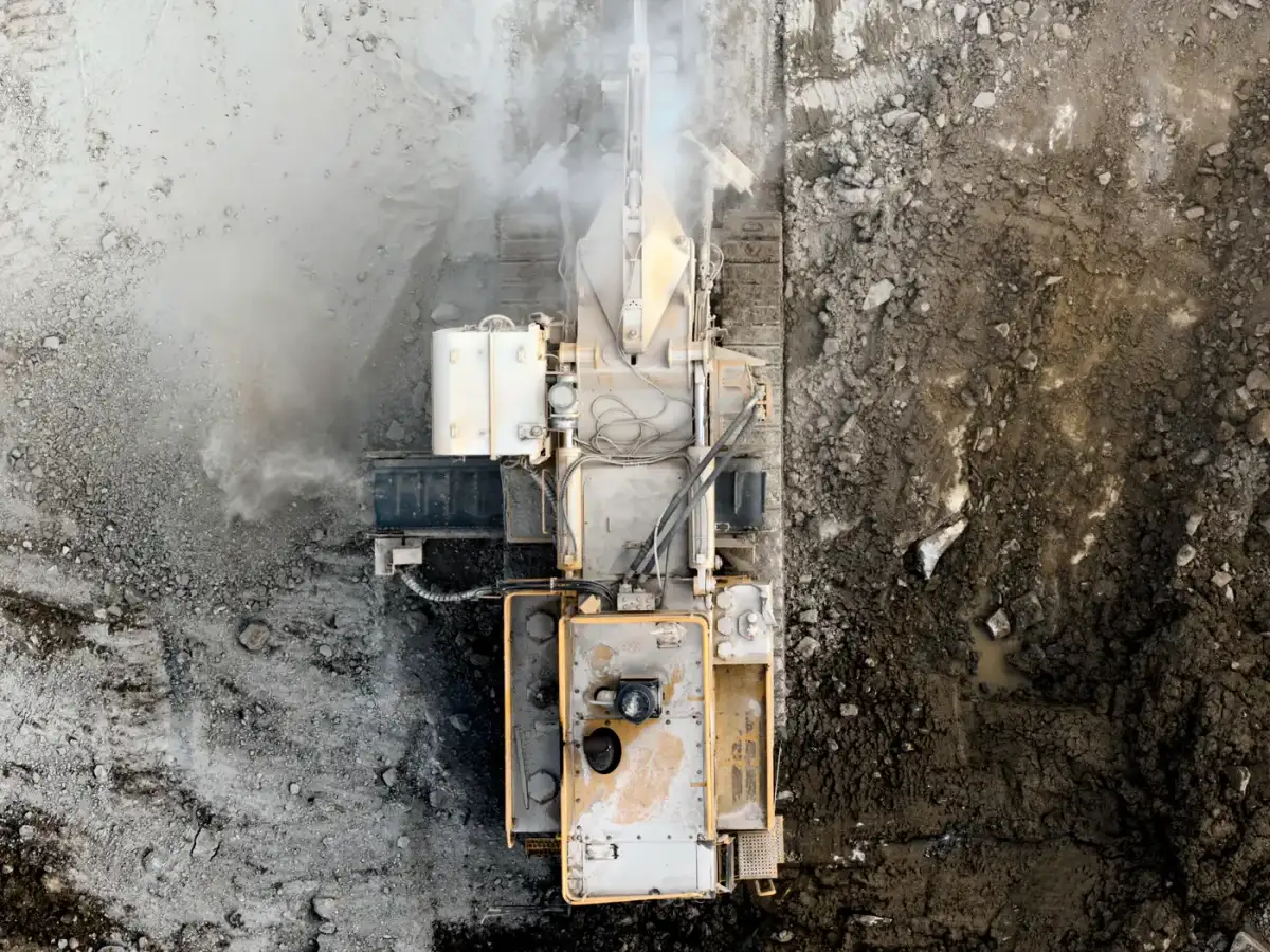
A drone covers a large earthworks site in a single flight without putting anyone in front of a machine or stopping production.
That is what makes frequent tracking practical. Capturing monthly with a ground crew is expensive and disruptive. Capturing monthly by air is neither, which is why the tracking actually happens rather than being skipped when the site gets busy.
Learn more about drone surveyingMachine Control From the Same Data
Because our team has extensive construction experience, we can also create the subgrade machine control files and use them for volume tracking, which maximises onsite earthmoving productivity.
Running the tracking against the same models the machines are working to removes a common source of argument, where the surveyor's surface and the machine's surface were never quite the same thing.
Learn more about machine controlPlatforms and Data Management
We are experienced managing earthworks data through platforms including Propeller and Civilio, so if your project already runs on one of those, we work inside it rather than sending you files to import.
Earthworks Tracking Questions
It is priced per capture, and the per-flight cost drops considerably when you book a regular regime rather than one-off flights. Site size and the reporting detail drive the number. For most projects the tracking costs a fraction of a single disputed claim, which is generally how contractors justify it. Tell us the site and your claim cycle and we will quote it.
Monthly suits most claim cycles. During peak production, fortnightly or weekly gives you enough resolution to react to a shortfall rather than just record it. We build the schedule around your programme rather than selling a fixed package.
That is the main reason clients use them. You get measured cut and fill volumes, stockpile quantities and heatmaps showing where material moved, all derived from a captured surface rather than an estimate. It is considerably harder to argue with.
Yes. We can track productivity against previous datasets to show what moved in the period, or against the design surface to show what is left. Most projects want both reported together.
Yes. We are experienced managing data through both, so if your project already runs on one we work inside your existing platform.
Yes. We work across metro Melbourne, South West Victoria and Gippsland, and large regional earthworks sites are exactly where drone capture is most cost effective compared with ground survey.
Trusted By Businesses Across Australia
- Luke Vearing Construction Manager at Speedpro Civil
Speedpro has had the pleasure of working alongside Outright Surveying for over 10 years, and we are always thoroughly impressed with their level of expertise, professionalism, accuracy, and reliability.
- Rowan Bird Project Survey Manager at Seymour Whyte
I’ve been working with Outright Surveying on several projects. The team consistently deliver with reliable and easy to deal with Surveyors, making the projects run smoothly.
- Nevil Sabu Alex Construction Manager at John Holland
Outright Surveying has been my trusty surveying partner for close to a decade. The service I have received from their surveyors and management team has been second to none.

Start Your Project With Confidence
Infrastructure surveys, building setouts, 3D scanning, aerial mapping and more. Our experienced team is ready to help. Tell us about your requirements and we'll respond as soon as possible.
- Phone 0400 751 199
- Address 4/20 Duerdin St, Clayton
Melbourne
- Phone 0413 147 976
- Location South West Regional Victoria