Surveyors in Blackburn
In most suburbs a tree is a constraint. In Blackburn it is frequently the constraint that decides whether a development happens at all, which changes what your survey needs to show.
Request a Quote
Where the vegetation controls drive the survey scope
Blackburn's canopy is the reason people move there, and it is also the reason development is harder here than in neighbouring suburbs. Significant landscape and neighbourhood character controls apply across much of the suburb, and around Blackburn Lake the scrutiny is higher again.
Practically, that means a standard feature survey is not enough. Council and your arborist need trunk positions, canopy extents and levels that can be relied on, because tree protection zones will shape the building envelope before anything else does.
Surveying services available in Blackburn
Cadastral Surveying
Title re-establishment, subdivision, easements, lease plans and boundary advice for property owners, builders and developers.
Building & High Rise
Commercial and high rise setout, residential building setout, bridge and structure work, and construction set out.
Civil & Engineering
Construction set out, civil infrastructure, machine control, utility surveys, monitoring, A-SPEC and renewable energy projects.
Drone & Scanning
Drone surveying, aerial LiDAR, 3D laser scanning, earthworks tracking and facility documentation across large or difficult sites.
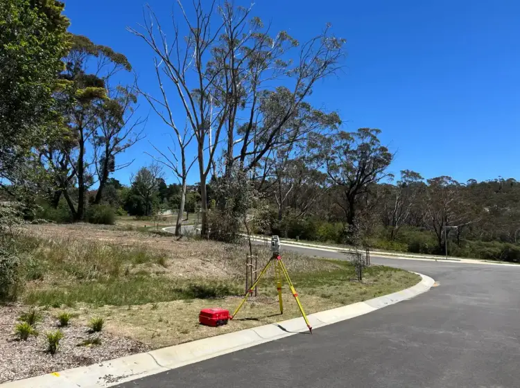
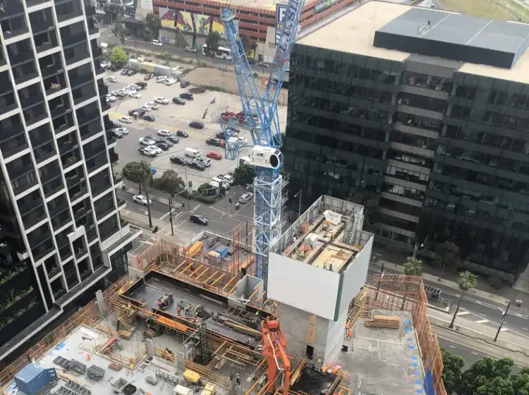
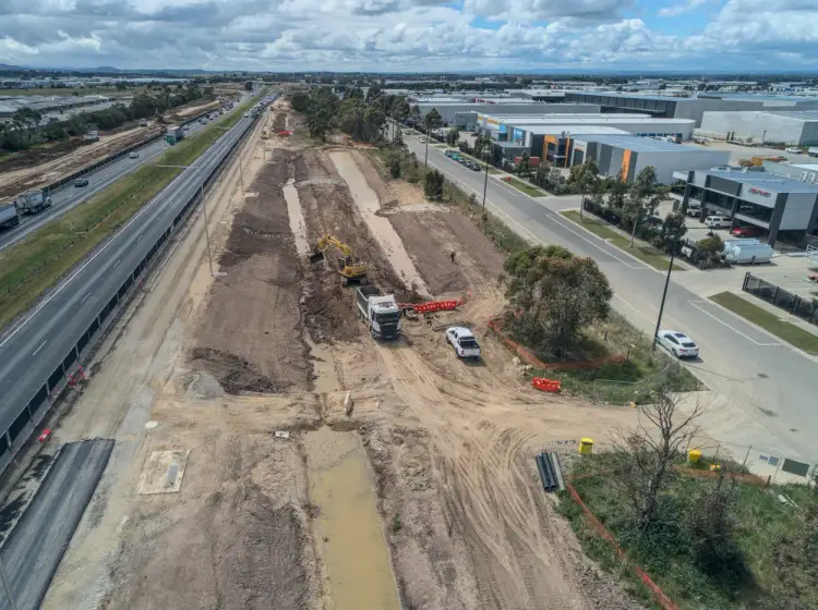
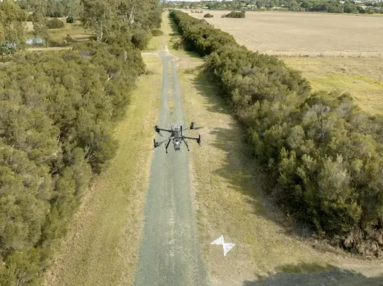
Survey work on a Blackburn site
Feature and level surveys with full vegetation detail. We locate trunks, measure canopy spread and record levels across the site so the tree protection zones can be drawn accurately rather than estimated. That single piece of work usually determines how much of the block is genuinely developable. See feature and level surveys.
Title re-establishment. Blackburn's older subdivisions predate accurate fencing, and mature gardens have grown over the evidence. We recover and mark the true boundary so setbacks are measured from the right line. See title re-establishment.
Subdivision under character controls. Subdivision in Blackburn is possible but constrained, and the feasibility usually rests on what the vegetation allows. We prepare and lodge the plan of subdivision, and we would rather tell you early that a site does not stack up than take you through a doomed application.
3D scanning for constrained sites. Where a heritage dwelling is being retained and extended, laser scanning captures the existing building accurately enough for the architect to design against it without repeated site visits.
Trusted By Businesses Across Australia
- Luke Vearing Construction Manager at Speedpro Civil
Speedpro has had the pleasure of working alongside Outright Surveying for over 10 years, and we are always thoroughly impressed with their level of expertise, professionalism, accuracy, and reliability.
- Rowan Bird Project Survey Manager at Seymour Whyte
I’ve been working with Outright Surveying on several projects. The team consistently deliver with reliable and easy to deal with Surveyors, making the projects run smoothly.
- Nevil Sabu Alex Construction Manager at John Holland
Outright Surveying has been my trusty surveying partner for close to a decade. The service I have received from their surveyors and management team has been second to none.

Request a Cadastral Survey Quote
Title re-establishment, subdivision, easements, lease plans and boundary advice across Melbourne and Victoria. Tell us about your property and we will come back to you with a fixed price.
- Phone 0408 007 453
- Address 4/20 Duerdin St, Clayton
Melbourne Cadastral
- Phone 0400 751 199
- Address 4/20 Duerdin St, Clayton
Melbourne
Our Recent Projects
- $126 million
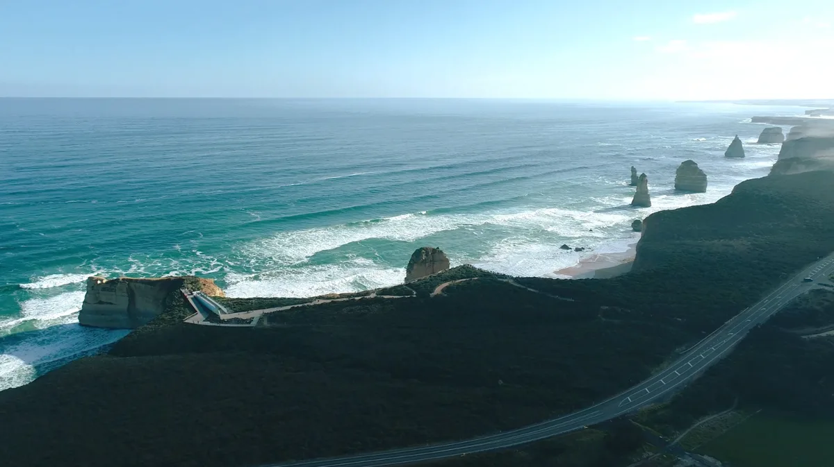
12 Apostles Visitor Experience Precinct - Survey Management Across a $126 Million Coastal Build
Integrated survey management for the $126 million 12 Apostles redevelopment, covering civil, structural, building, services and landscape works in a sensitive coastal environment.
- $700 million
Wooreen BESS - Survey Support Across 350 MW of Battery Storage
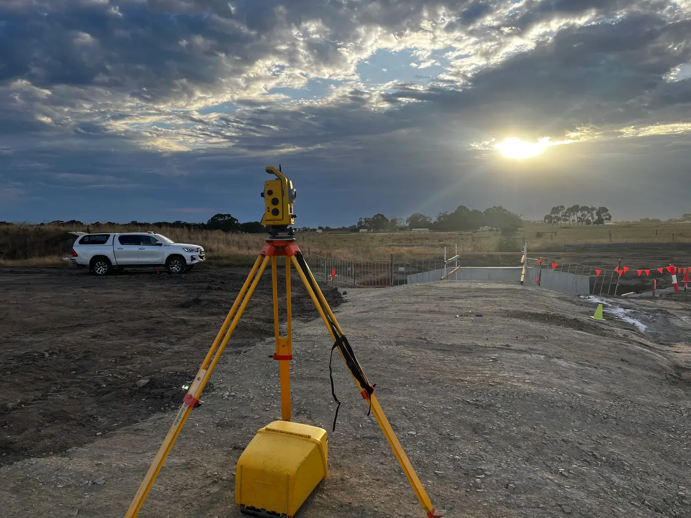
Survey control, machine control and high-precision electrical setout across one of Australia's largest utility-scale battery storage developments in the Latrobe Valley.
Terang BESS - Coordinated Setout Across a Congested Battery Storage Site
Construction surveying and spatial support for the Terang Battery Energy Storage System, covering civil, structural and detailed electrical setout within a condensed site footprint.