Surveyors in Burwood
Burwood is steadily replacing single post-war houses with townhouses and student accommodation, and almost every one of those projects starts with a subdivision plan and a boundary that needs proving.
Request a Quote
Steady infill, driven by the university and the highway
Two things shape development in Burwood. Deakin University's campus creates constant demand for higher density housing within walking distance, and the Burwood Highway corridor carries the commercial and mixed use development. Between them sit streets of 1950s and 60s houses on blocks large enough to take three or four dwellings.
The result is a suburb where subdivision is the bread and butter, and where the difference between a three lot and a four lot outcome often comes down to a few hundred millimetres of boundary.
Surveying services available in Burwood
Cadastral Surveying
Title re-establishment, subdivision, easements, lease plans and boundary advice for property owners, builders and developers.
Building & High Rise
Commercial and high rise setout, residential building setout, bridge and structure work, and construction set out.
Civil & Engineering
Construction set out, civil infrastructure, machine control, utility surveys, monitoring, A-SPEC and renewable energy projects.
Drone & Scanning
Drone surveying, aerial LiDAR, 3D laser scanning, earthworks tracking and facility documentation across large or difficult sites.
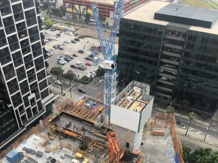
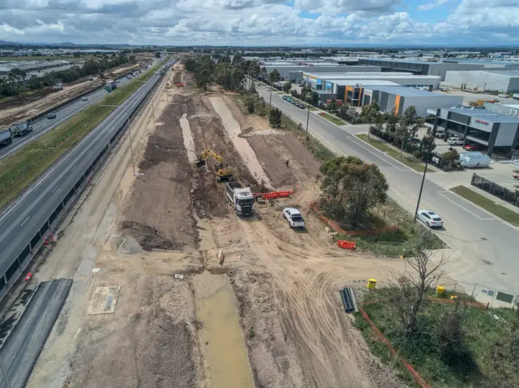
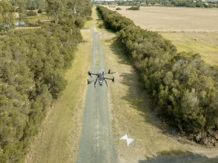
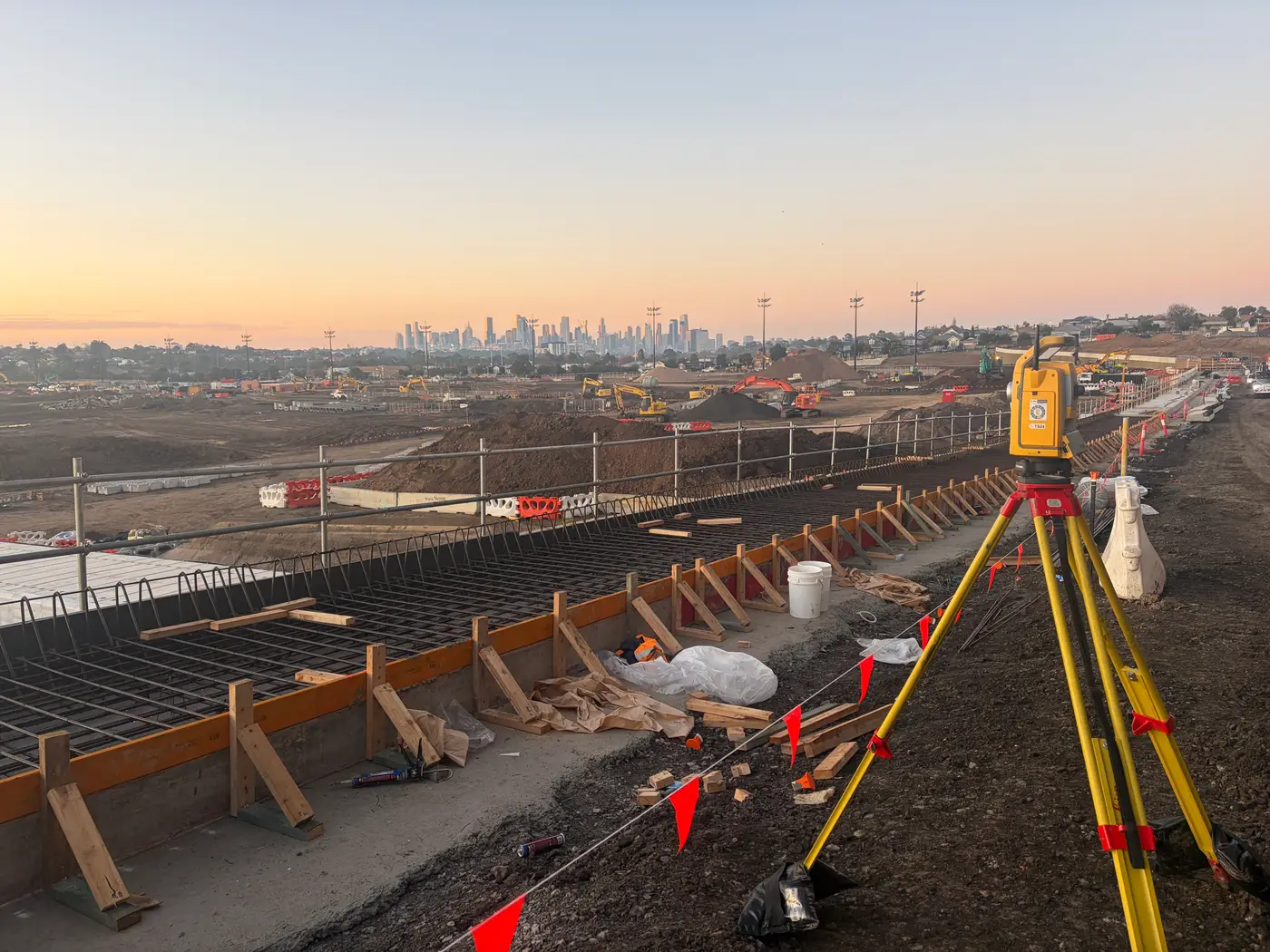
Survey work on a Burwood site
Title re-establishment first. Burwood's older subdivisions have fences that have drifted over seventy years. We recover the boundary from the original plan and mark it, so your architect designs to the title line rather than to a fence someone replaced in 1994. See title re-establishment.
Unit and townhouse subdivision. We prepare the plan of subdivision, coordinate Whitehorse Council and the service authorities, lodge through SPEAR and manage it to registration. Where the development includes shared driveways, walls or services, the owners corporation arrangements are set up at the same time.
Feature and level surveys. Burwood sites fall away toward Gardiners Creek in places, and drainage design depends on real levels rather than assumed ones. Our feature and level surveys capture terrain, existing structures, services and protected vegetation.
Construction set out. Once the permit is issued we set out footings, walls, driveways and drainage to the endorsed plans. On a four unit site with minimum setbacks there is no spare tolerance, so accurate set out is what keeps the build inside its approval.
Trusted By Businesses Across Australia
- Luke Vearing Construction Manager at Speedpro Civil
Speedpro has had the pleasure of working alongside Outright Surveying for over 10 years, and we are always thoroughly impressed with their level of expertise, professionalism, accuracy, and reliability.
- Rowan Bird Project Survey Manager at Seymour Whyte
I’ve been working with Outright Surveying on several projects. The team consistently deliver with reliable and easy to deal with Surveyors, making the projects run smoothly.
- Nevil Sabu Alex Construction Manager at John Holland
Outright Surveying has been my trusty surveying partner for close to a decade. The service I have received from their surveyors and management team has been second to none.

Request a Cadastral Survey Quote
Title re-establishment, subdivision, easements, lease plans and boundary advice across Melbourne and Victoria. Tell us about your property and we will come back to you with a fixed price.
- Phone 0408 007 453
- Address 4/20 Duerdin St, Clayton
Melbourne Cadastral
- Phone 0400 751 199
- Address 4/20 Duerdin St, Clayton
Melbourne
Our Recent Projects
- $126 million
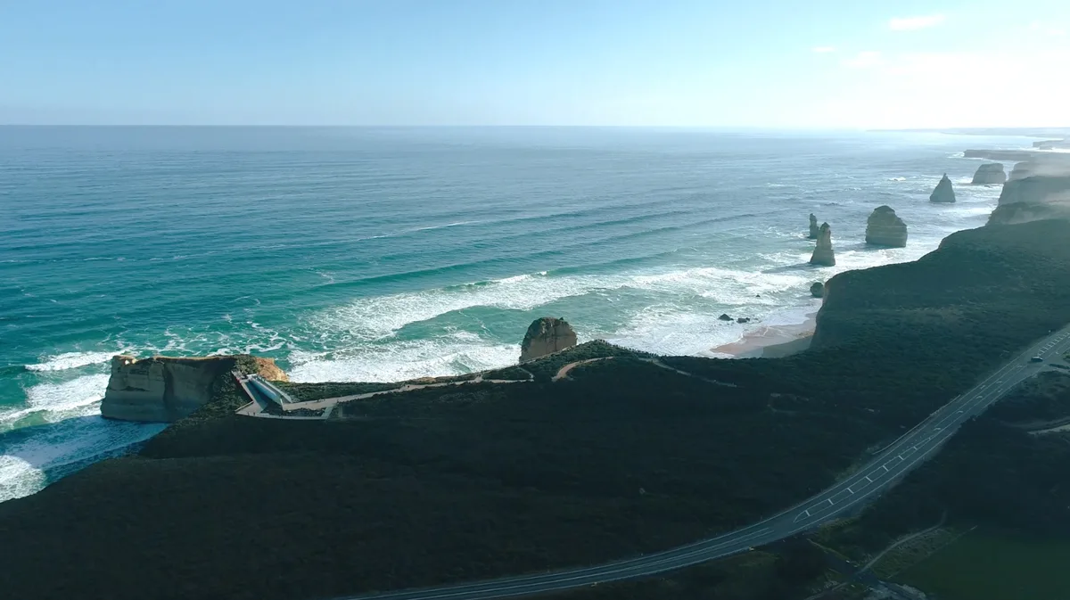
12 Apostles Visitor Experience Precinct - Survey Management Across a $126 Million Coastal Build
Integrated survey management for the $126 million 12 Apostles redevelopment, covering civil, structural, building, services and landscape works in a sensitive coastal environment.
- $700 million
Wooreen BESS - Survey Support Across 350 MW of Battery Storage
Survey control, machine control and high-precision electrical setout across one of Australia's largest utility-scale battery storage developments in the Latrobe Valley.
Terang BESS - Coordinated Setout Across a Congested Battery Storage Site
Construction surveying and spatial support for the Terang Battery Energy Storage System, covering civil, structural and detailed electrical setout within a condensed site footprint.