
Civil Construction Surveying in Warrnambool
Control, setout and as-constructed survey that keep Warrnambool developments and South West wind, battery and road projects built to design.
Get A Free Quote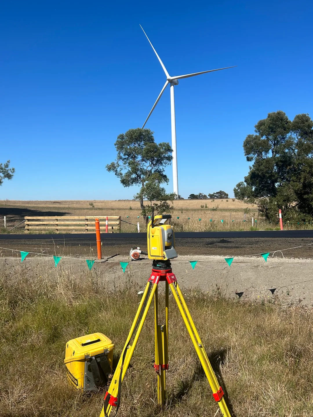
Civil Survey That Holds From First Stage to Last
Control that drifts between stages, or setout that does not match the drawings, turns into rework, disputed quantities and a late handover. You need survey your crews can use straight away and data that still agrees at the end of the job.
Outright Surveying has delivered civil survey since 2009, from estate roads and drainage to freeways and utility-scale energy projects such as the Hawkesdale Wind Farm and the Terang BESS. With more than 30 surveyors and four disciplines in one firm, your Warrnambool job gets the same full-cycle support, whatever its size.
"I've been working with Outright Surveying on several projects. The team consistently deliver with reliable and easy to deal with Surveyors, making the projects run smoothly." Rowan Bird Project Survey Manager - Seymour Whyte
Civil Surveying Across Warrnambool and the South West
Construction Set Out
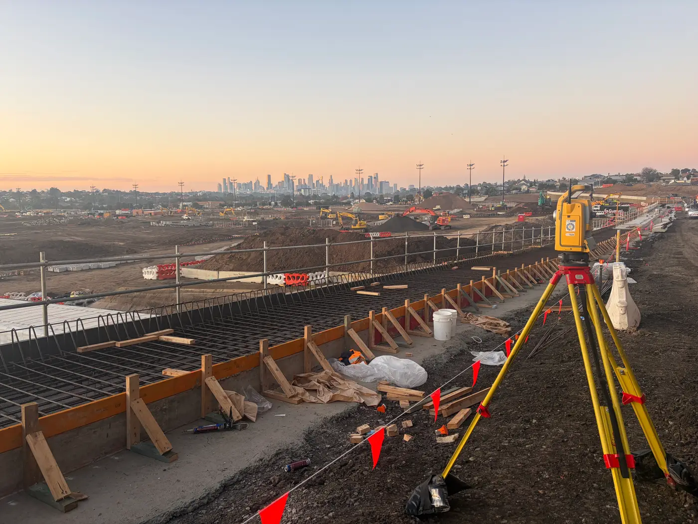
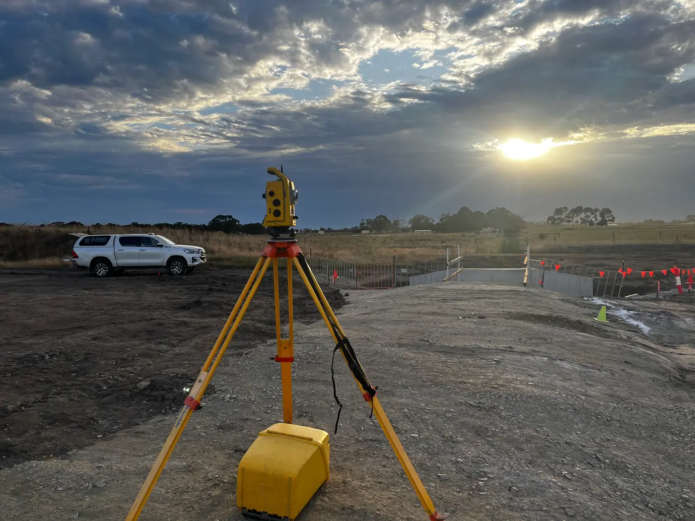
Roads, drainage, foundations and services marked out to the design across every stage of the job.
Renewable Energy
Survey for wind farms and battery storage, from the first feature survey to final as-constructed records.
Machine Control
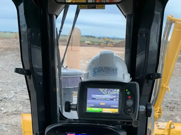
Earthworks and road models prepared and verified so the fleet builds straight to design.
Utility Surveys
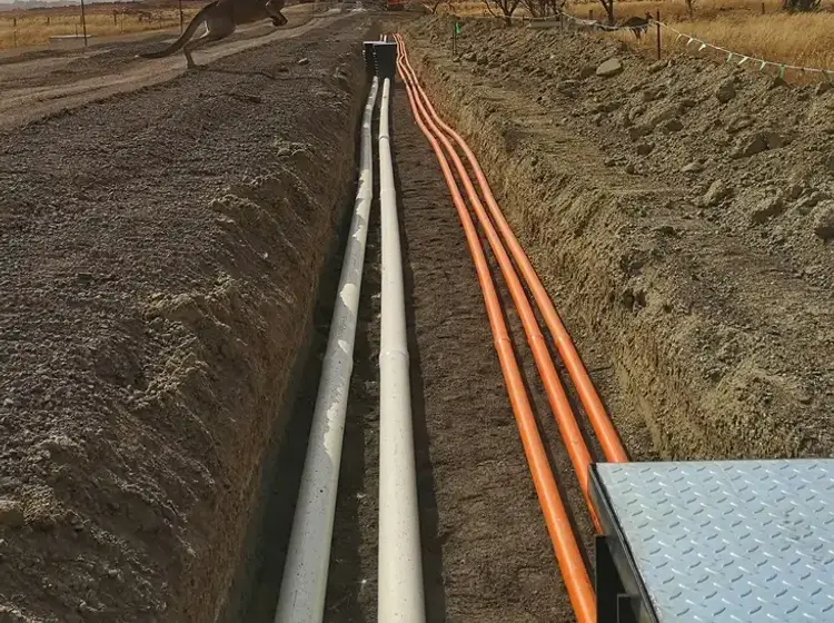
Underground services located and recorded so new works avoid what is already in the ground.

Why Warrnambool Contractors Choose Outright
Large sites leave no room for wasted visits. We confirm drawings, control and timing before we attend, and we raise discrepancies when we find them rather than weeks later.
Troy on your project
Troy leads our South West team and works on its projects, so you deal directly with the surveyor.
Proven on regional energy sites
Hawkesdale Wind Farm and the Terang BESS among our South West projects.
Full-cycle survey
Feature survey, volumes, setout, survey management and as-constructed from one team.
30+ surveyors behind us
Extra crews and specialist equipment available when the job needs them.
15+ years in business
Surveying Victorian civil and infrastructure projects since 2009.
Director involvement
Our director has 20+ years in the industry and works directly with clients.
Our Recent Projects
- $126 million
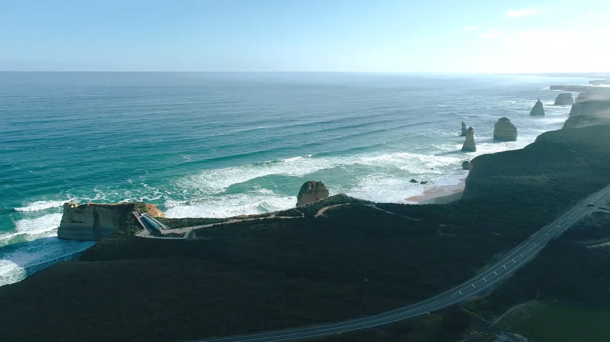
12 Apostles Visitor Experience Precinct - Survey Management Across a $126 Million Coastal Build
Integrated survey management for the $126 million 12 Apostles redevelopment, covering civil, structural, building, services and landscape works in a sensitive coastal environment.
- $700 million
Wooreen BESS - Survey Support Across 350 MW of Battery Storage
Survey control, machine control and high-precision electrical setout across one of Australia's largest utility-scale battery storage developments in the Latrobe Valley.
Terang BESS - Coordinated Setout Across a Congested Battery Storage Site
Construction surveying and spatial support for the Terang Battery Energy Storage System, covering civil, structural and detailed electrical setout within a condensed site footprint.
Trusted By Businesses Across Australia
- Luke Vearing Construction Manager at Speedpro Civil
Speedpro has had the pleasure of working alongside Outright Surveying for over 10 years, and we are always thoroughly impressed with their level of expertise, professionalism, accuracy, and reliability.
- Rowan Bird Project Survey Manager at Seymour Whyte
I’ve been working with Outright Surveying on several projects. The team consistently deliver with reliable and easy to deal with Surveyors, making the projects run smoothly.
- Nevil Sabu Alex Construction Manager at John Holland
Outright Surveying has been my trusty surveying partner for close to a decade. The service I have received from their surveyors and management team has been second to none.

Get A Free Quote in Warrnambool
Get control, setout and as-constructed data that hold from the first stage of your Warrnambool project to handover. Tell us about the job and we will give you a clear quote.
- Phone 0413 147 976
- Location South West Regional Victoria
South West Victoria
- Phone 0400 751 199
- Address 4/20 Duerdin St, Clayton
Melbourne
Civil Surveying in Warrnambool: Common Questions
It depends on the scope and duration. Discrete work such as a feature survey, tender volumes or an as-constructed survey is priced as a fixed fee, while ongoing site support is a day or half-day rate, or a retained arrangement on longer projects. Tell us about the site and what the survey is for, and we will give you a clear quote.
Yes. We prepare the plan of subdivision in-house and take it from SPEAR lodgement through to registration at Land Use Victoria. It sits on the same control as the civil setout, so the roads and lot boundaries agree.
Yes. We supported the Hawkesdale Wind Farm from the first feature survey to final as-constructed records, and provided civil, structural and electrical setout on the Terang BESS. See our renewable energy surveying page.
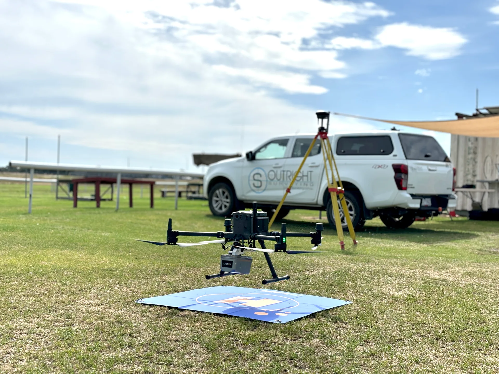
We establish a high-accuracy GNSS control network at the start, then combine traditional field survey with drone capture to cover large areas without losing precision. On Hawkesdale that approach covered more than 2,280 hectares and 19 km of new access roads.
We also provide engineering surveying, structural surveys, aerial surveys and renewable energy surveying in Warrnambool.
More Surveying Services in Warrnambool
See our Warrnambool surveying page and our South West Victoria overview. We also provide civil construction surveying in:
Civil Surveying for Every Stage of Your Warrnambool Project

Wind Farm Infrastructure
One survey team from the first feature survey to the final as-constructed records. On the Hawkesdale Wind Farm we supported BMD Constructions across a four-year program, covering design volumes and setout for 23 turbine foundations, crane pads, roads and cable trenches across more than 2,280 hectares.
Our renewable energy surveying brings that full-cycle approach to new energy projects.
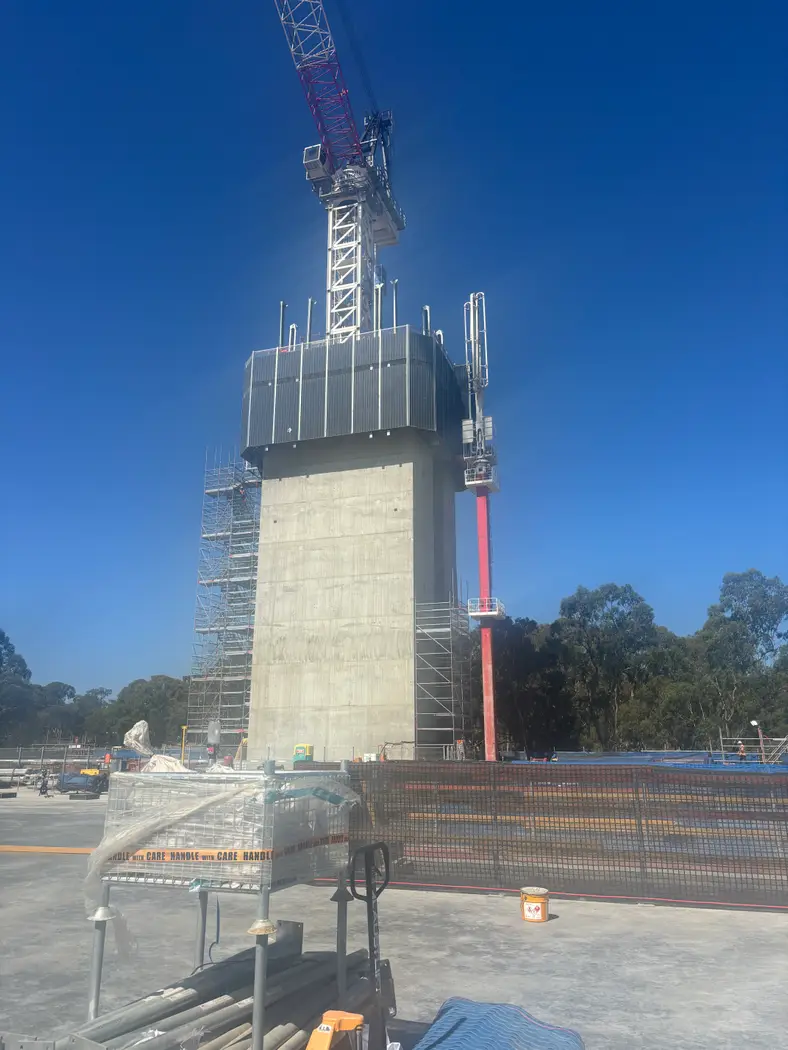
Battery Storage and Congested Sites
Keep new works clear of existing ones on a tight site. The Terang BESS packed civil, structural and electrical works into a condensed footprint, and we prepared machine control data for earthworks and roads, set out slabs and structures, and carried out detailed electrical setout.
On sites like this, a utility survey and tight control are what keep new works clear of existing ones.
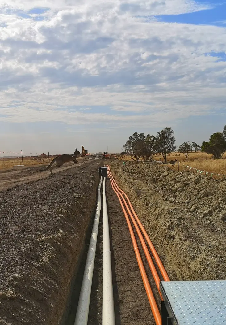
Estates, Roads and Commercial Sites
Have roads, drainage and lot boundaries agree from setout to new titles. Our construction set out covers roads, kerb, drainage, sewer and pads on Warrnambool estates and commercial sites, and our cadastral team can prepare the plan of subdivision on the same control.
Where assets pass to council, A-SPEC surveys provide the as-constructed data.
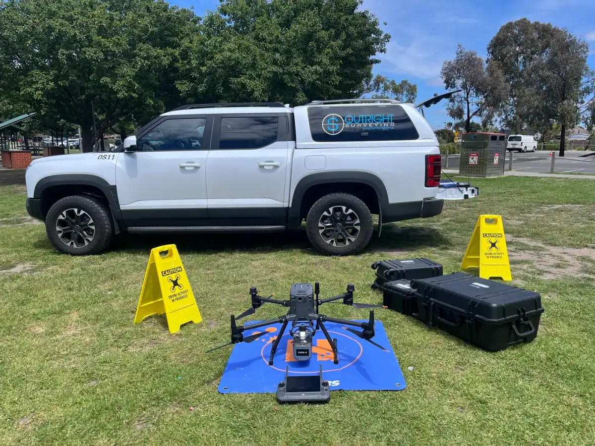
Large Sites and Long Programs
Cover big, open sites without losing precision. We set up a high-accuracy GNSS control network at the start and use drone capture to cover large areas efficiently, while earthworks tracking reports progress against design.
On longer projects, project survey management keeps control and data consistent from start to finish. More on our civil construction surveying.