
Aerial Surveys in Warrnambool
Map farmland, coastline, corridors and energy sites in a fraction of the time a ground crew needs, with drone and LiDAR data tied to survey control your designers can trust.
Get A Free Quote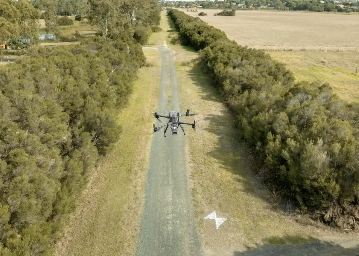
Survey Data for Big, Open Sites
Walking every metre of a large property, corridor or coastal site takes time, and some of that ground is unsafe to reach on foot. Sparse ground data also leaves designers guessing between points, which shows up later as redesign.
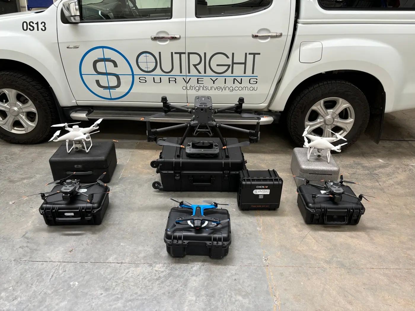
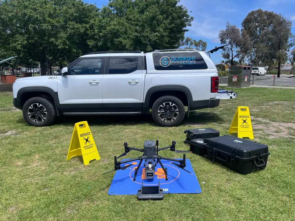
A drone captures the whole site quickly, and because we fly against surveyed ground control, the point clouds, terrain models, orthophotos and volumes line up with your design data. Outright Surveying has surveyed since 2009 with more than 30 surveyors, and on the Hawkesdale Wind Farm drone photogrammetry with GNSS control helped us cover more than 2,280 hectares without losing precision.
"Outright Surveying has been my trusty surveying partner for close to a decade. The service I have received from their surveyors and management team has been second to none." Neville Sabu Alex Construction Manager - John Holland
Aerial and Scanning Services Around Warrnambool
Drone and Aerial LiDAR
Orthophotos, point clouds and terrain models captured over large sites in a single visit.
3D Laser Scanning
Dense, measurable models of buildings, structures and plant for design and documentation.
Earthworks Tracking
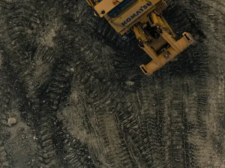
Repeat flights that measure cut, fill and stockpiles against design as the job progresses.
Feature and Level Surveys
Ground survey where detail matters most, merged with aerial data into one base plan.

Why Warrnambool Landholders and Engineers Choose Outright
A good-looking orthophoto is not the same as survey-grade data. We are surveyors first, so every flight is planned around control, accuracy and the outputs your engineers and designers will use.
Tied to survey control
Every capture is referenced to surveyed ground control points.
Air and ground combined
Drone, laser scanning and field survey from one team on one datum.
Proven on large sites
Drone capture helped us cover 2,280+ hectares at Hawkesdale Wind Farm.
Direct line to Troy
Troy leads our South West team and plans the capture with you directly.
Outputs in your format
CAD, point cloud and terrain files ready for your design software.
Surveying since 2009
15+ years and 30+ surveyors behind every South West job.
Our Recent Projects
- $126 million
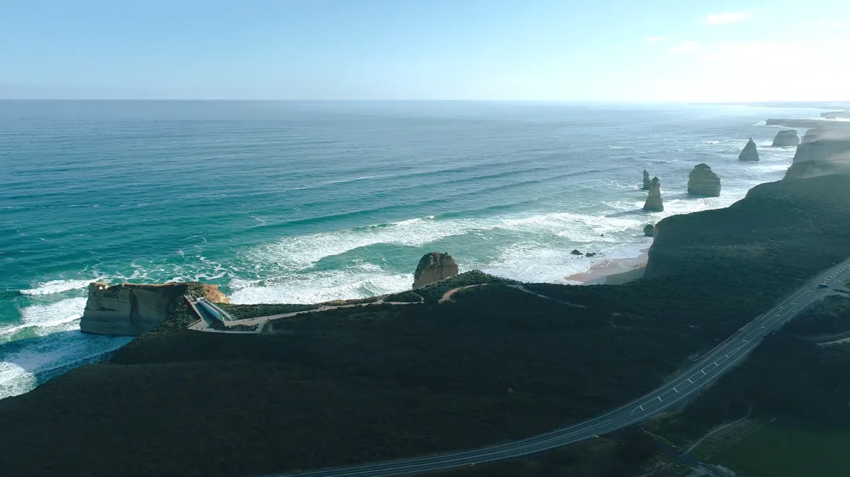
12 Apostles Visitor Experience Precinct - Survey Management Across a $126 Million Coastal Build
Integrated survey management for the $126 million 12 Apostles redevelopment, covering civil, structural, building, services and landscape works in a sensitive coastal environment.
- $700 million
Wooreen BESS - Survey Support Across 350 MW of Battery Storage
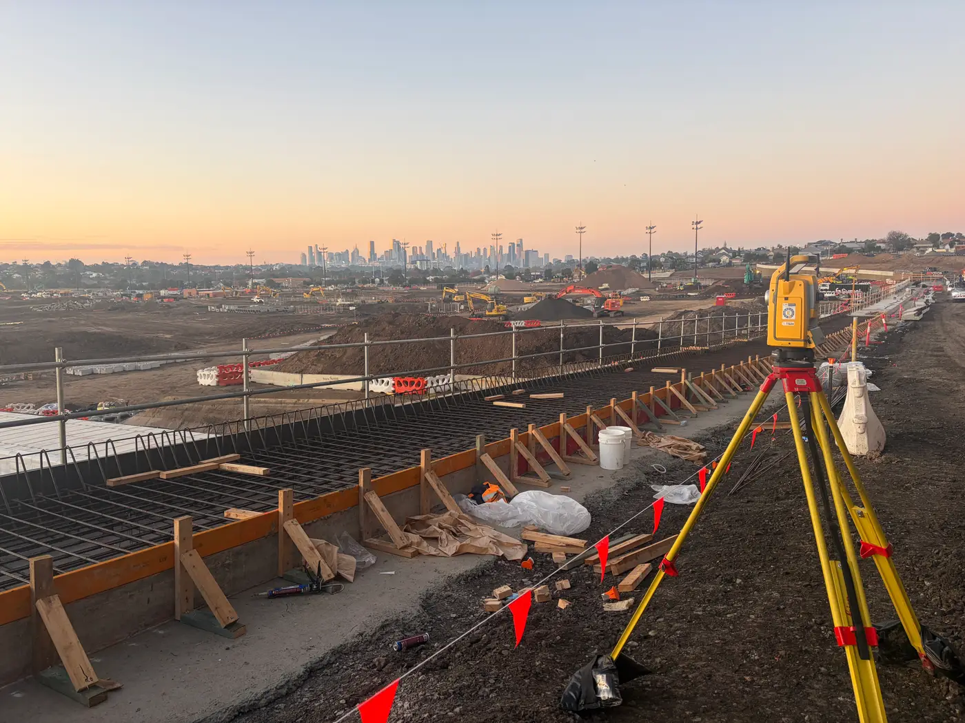
Survey control, machine control and high-precision electrical setout across one of Australia's largest utility-scale battery storage developments in the Latrobe Valley.
Terang BESS - Coordinated Setout Across a Congested Battery Storage Site
Construction surveying and spatial support for the Terang Battery Energy Storage System, covering civil, structural and detailed electrical setout within a condensed site footprint.
Trusted By Businesses Across Australia
- Luke Vearing Construction Manager at Speedpro Civil
Speedpro has had the pleasure of working alongside Outright Surveying for over 10 years, and we are always thoroughly impressed with their level of expertise, professionalism, accuracy, and reliability.
- Rowan Bird Project Survey Manager at Seymour Whyte
I’ve been working with Outright Surveying on several projects. The team consistently deliver with reliable and easy to deal with Surveyors, making the projects run smoothly.
- Nevil Sabu Alex Construction Manager at John Holland
Outright Surveying has been my trusty surveying partner for close to a decade. The service I have received from their surveyors and management team has been second to none.

Get A Free Quote in Warrnambool
Get survey-grade terrain, imagery and volumes for large or hard-to-reach sites, captured quickly and safely. Tell us about the site and what you need from the data and we will give you a clear quote.
- Phone 0413 147 976
- Location South West Regional Victoria
South West Victoria
- Phone 0400 751 199
- Address 4/20 Duerdin St, Clayton
Melbourne
Aerial Surveys in Warrnambool: Common Questions
Price is driven mainly by the size of the area, the ground control needed and the outputs you want. A single capture with a terrain model or orthophoto is quoted as a fixed fee, while repeat flights for volume tracking are priced per visit. Send us a boundary or map of the area and we will scope it.
Accuracy comes from the ground control, not just the drone. We tie every flight to surveyed control points so the point cloud, terrain model and orthophoto sit on the same coordinates as the rest of your project. Where a design needs tighter tolerances, we add traditional field survey for the critical areas.
On large or open sites, such as farmland, road corridors and wind farm footprints, a drone covers ground much faster and keeps people off hazardous terrain. On small, built-up or heavily vegetated sites a conventional feature and level survey is often the better tool, and we will tell you which suits your job.
Yes. Our 3D laser scanning captures building facades, interiors and structures as dense point clouds, which pair well with aerial data for the surrounding site. For buildings and bridges see our structural surveys in Warrnambool.
Our South West team also provides engineering surveying, civil construction surveying and renewable energy surveying in Warrnambool.
More Surveying Services in Warrnambool
See our Warrnambool surveying page and our South West Victoria overview. Our other Warrnambool services:
Aerial Survey for Every Kind of Warrnambool Site
Farmland and Rural Development
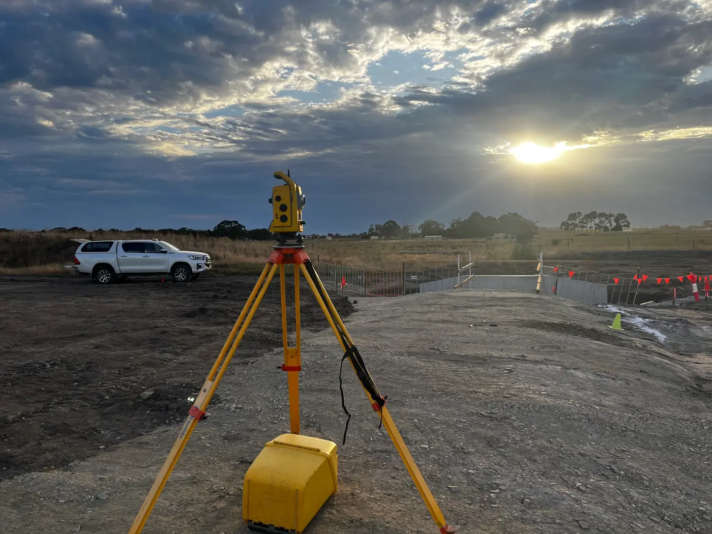
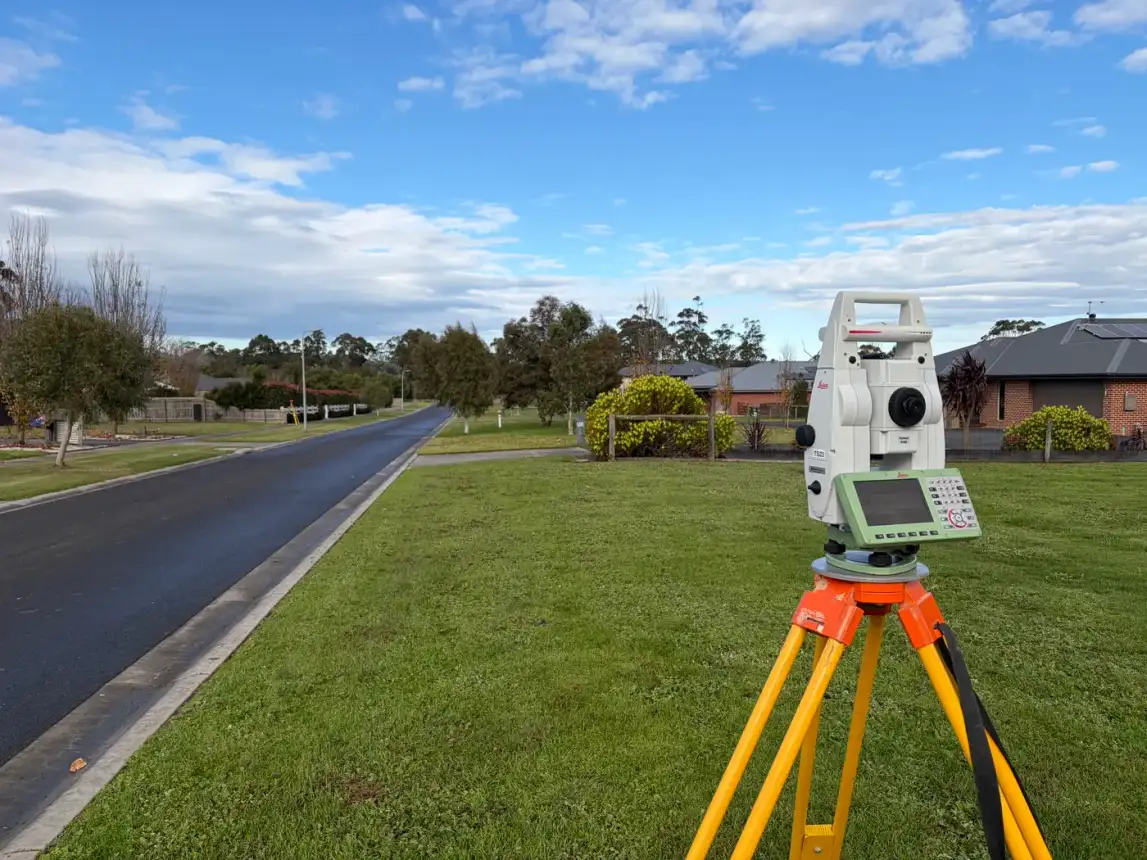
Plan, design or subdivide a large holding from one complete dataset. A drone or aerial LiDAR capture gives you contours, drainage lines, fences and structures across rural properties of hundreds of hectares.
Where boundaries or detailed levels matter, we add field survey on the same control, as we did on our Port Campbell feature survey.
Wind Farms and Energy Sites
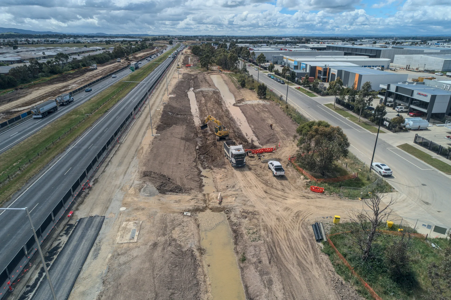
Map existing conditions and track works across sites that spread over open country. On the Hawkesdale Wind Farm we combined GNSS control with drone photogrammetry across turbine sites, access roads and cable routes.
More on our renewable energy surveying.
Coastline, Cliffs and Exposed Ground
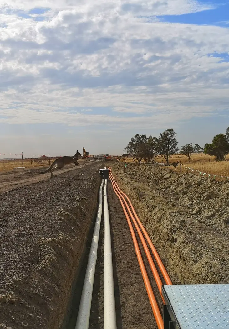
Record steep or unstable ground without putting a crew on the edge. Aerial capture maps coastal land along the Great Ocean Road and Shipwreck Coast safely, and repeat flights show how a site changes over time.
The results feed directly into design, planning and aerial survey reporting.
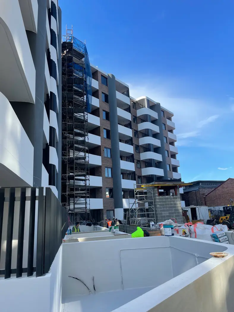
Buildings, Plant and Stockpiles
Get the detail a drone cannot see and the volumes you need to claim. 3D laser scanning captures buildings, structures and industrial plant, while earthworks tracking turns repeat flights into cut, fill and stockpile volumes.
Both can be combined with aerial data into one model of the site.